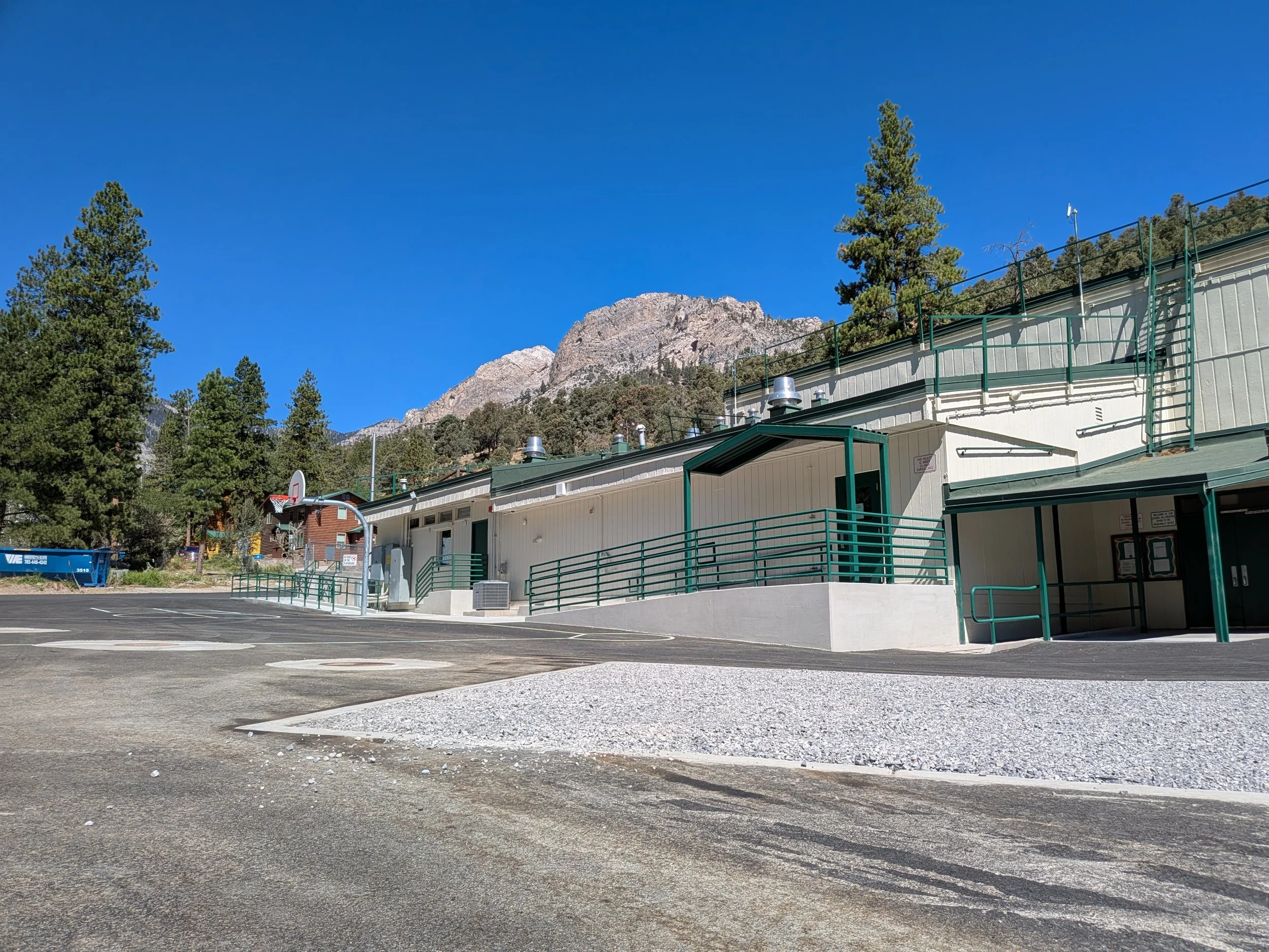
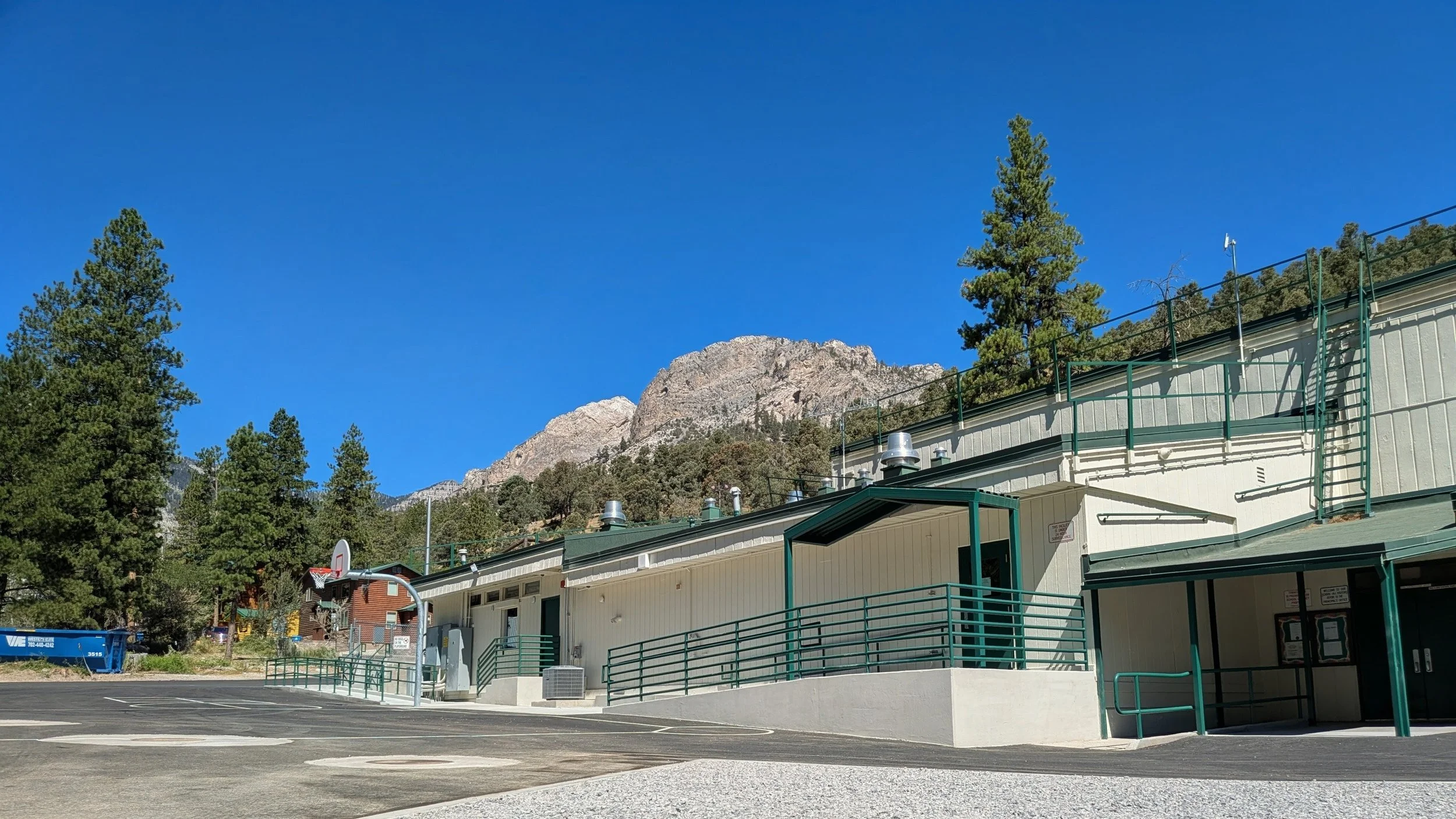
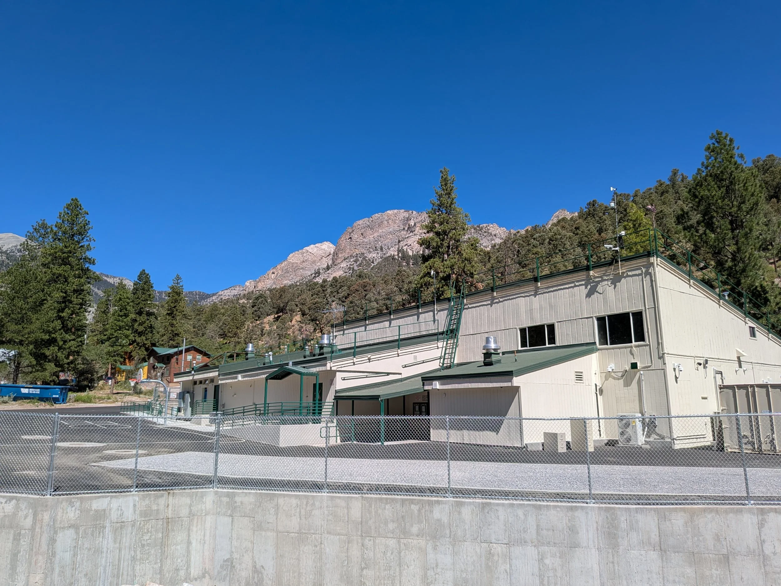
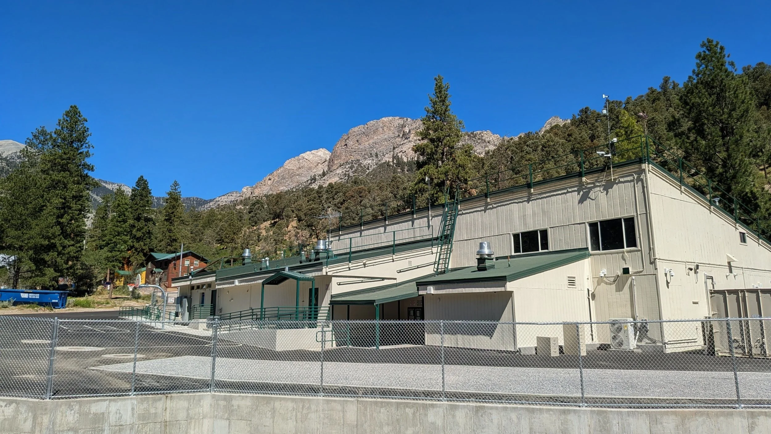
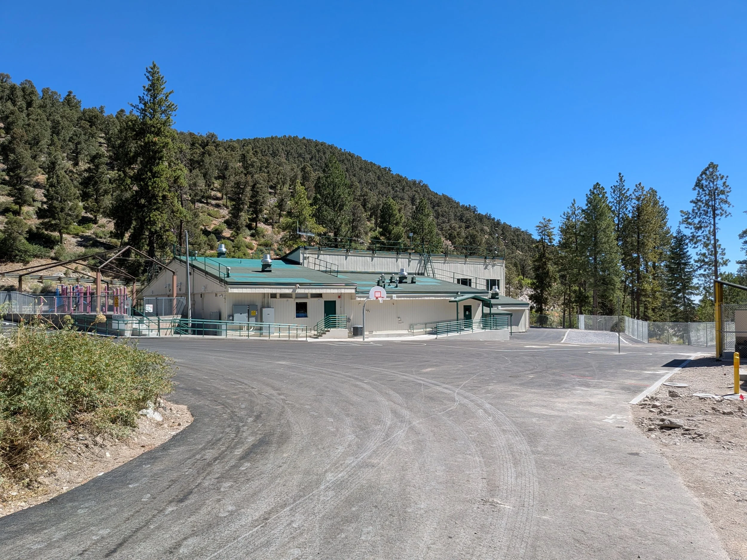
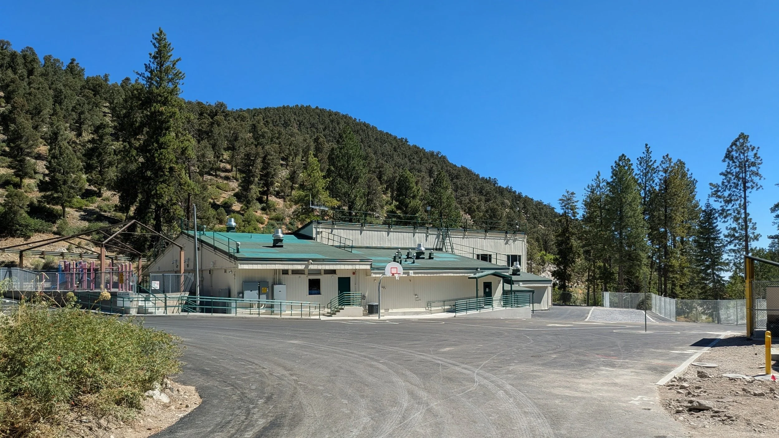
The renovation of Lundy Elementary School brought unique challenges after floodwaters caused significant site and building damage.
The Transformation
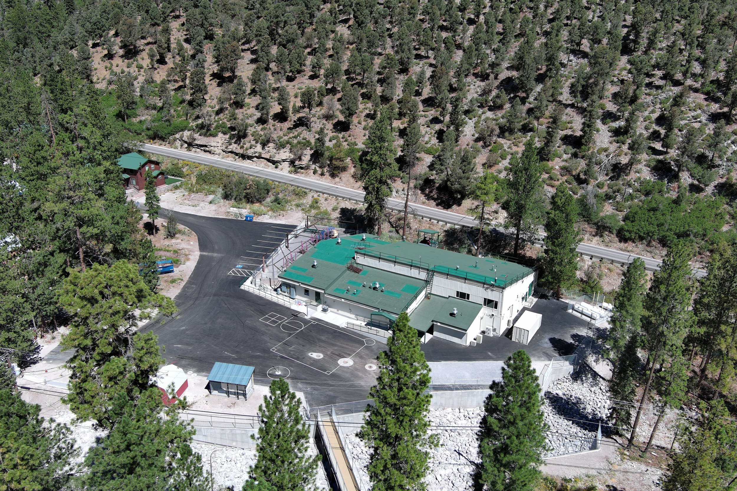
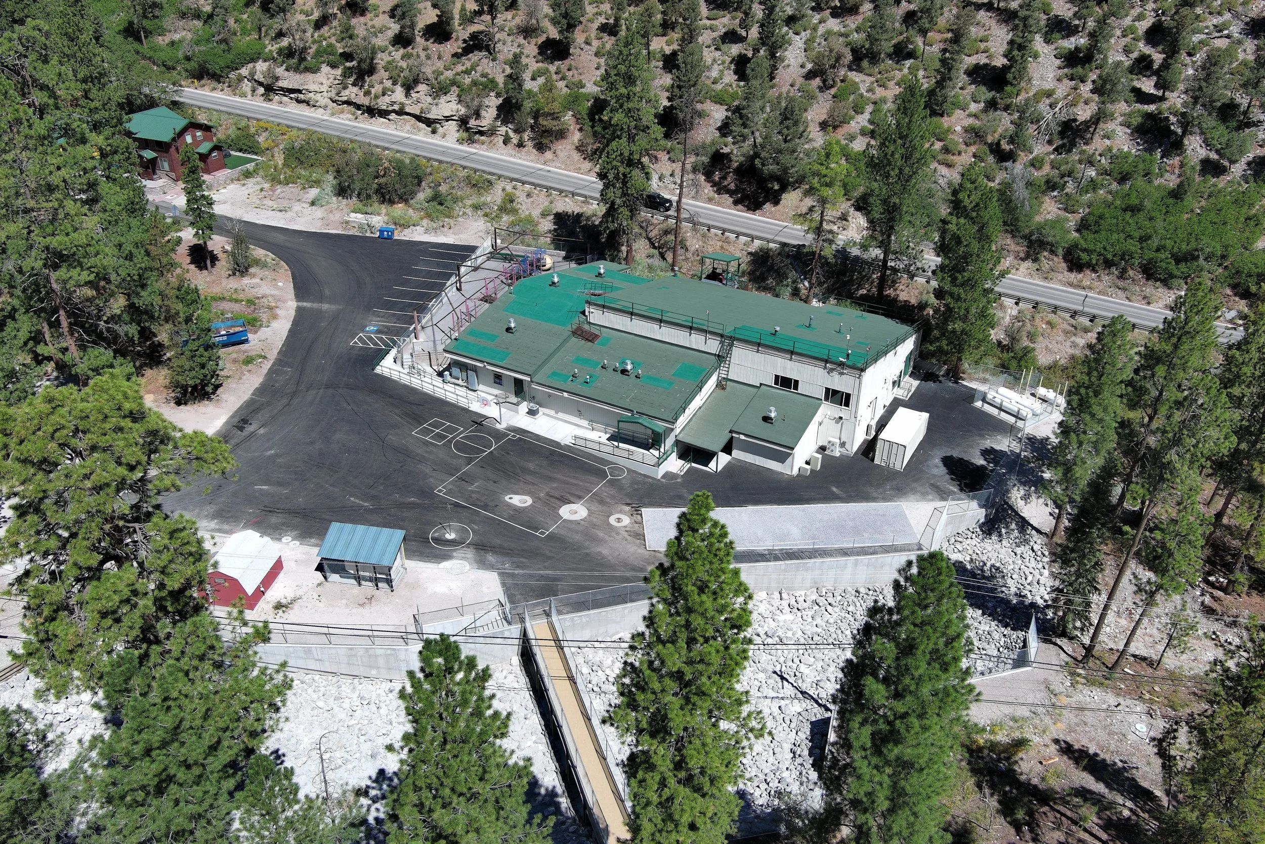
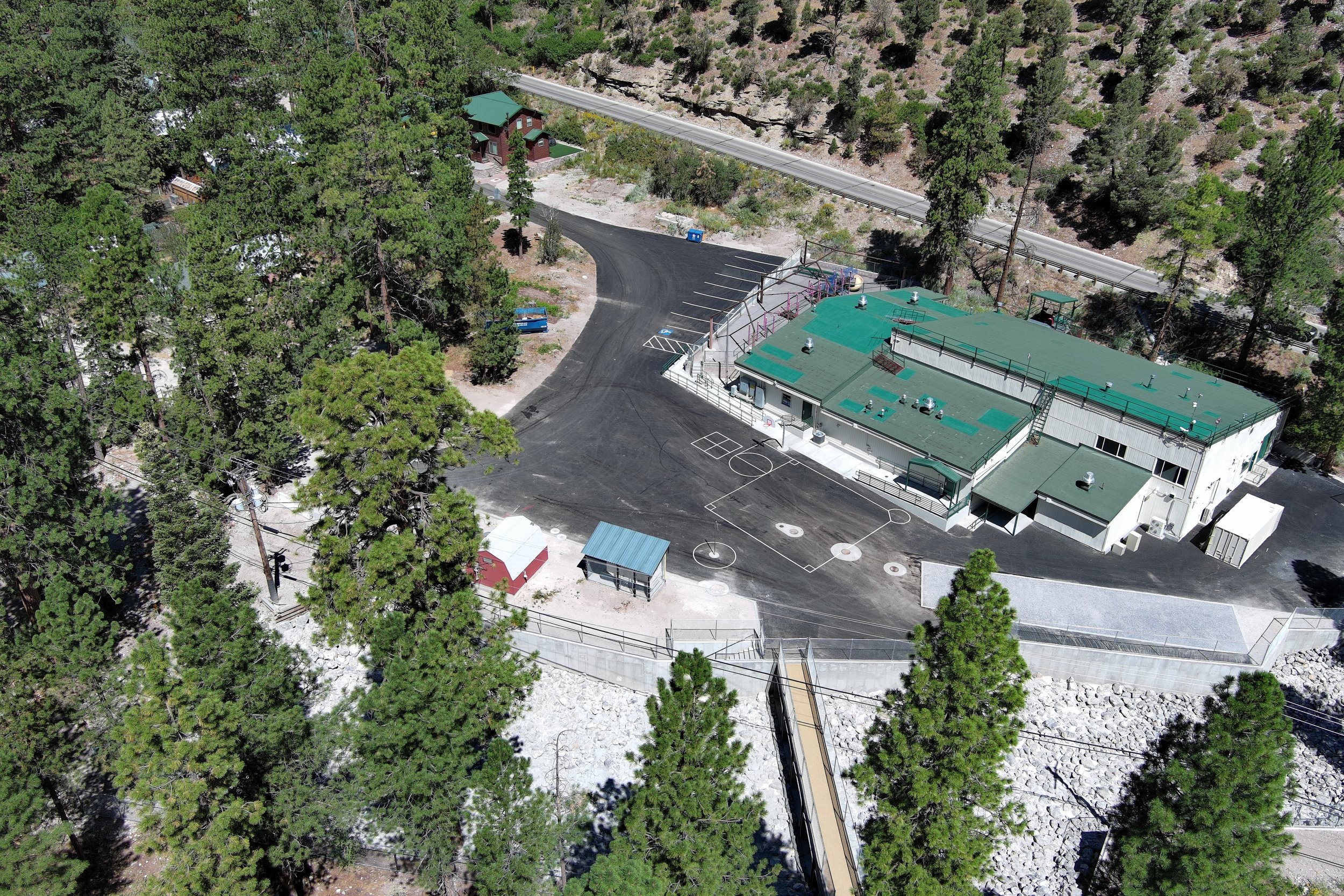
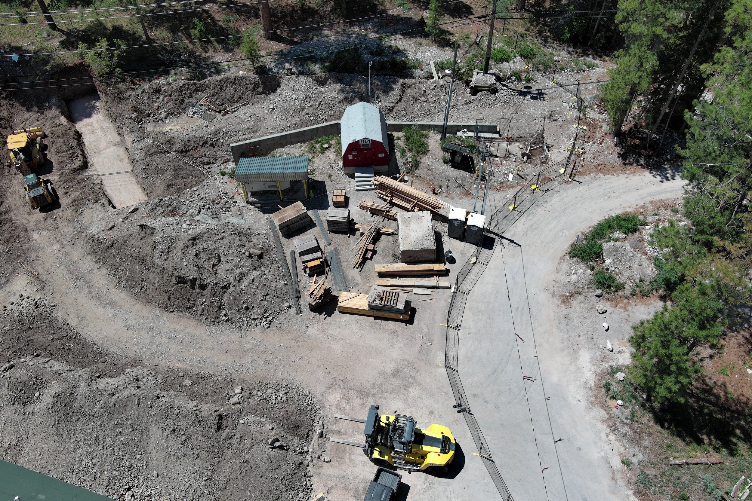
Lundy ESAerial Mapping & Progress Tracking: The Lundy Elementary School Restoration
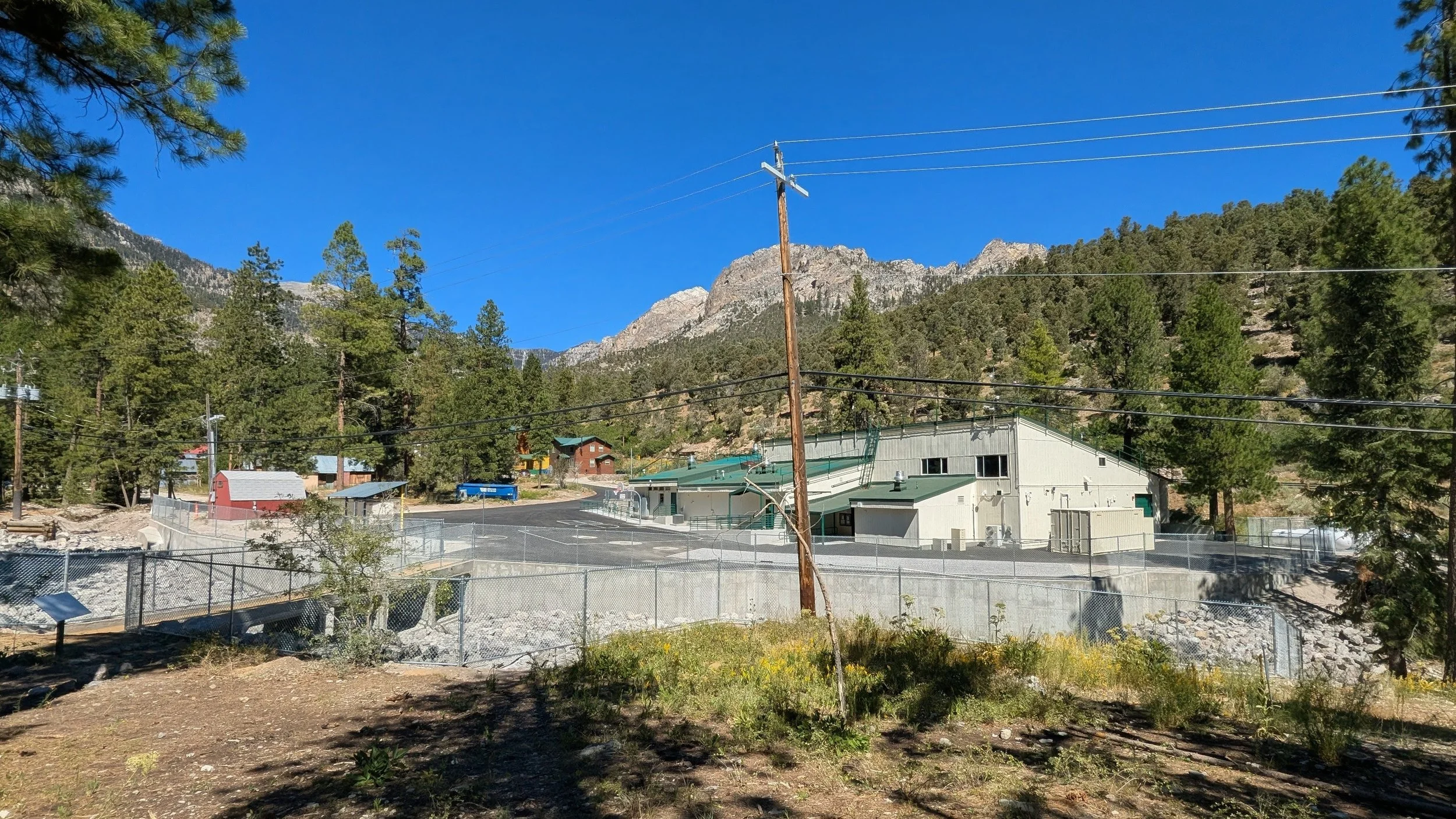
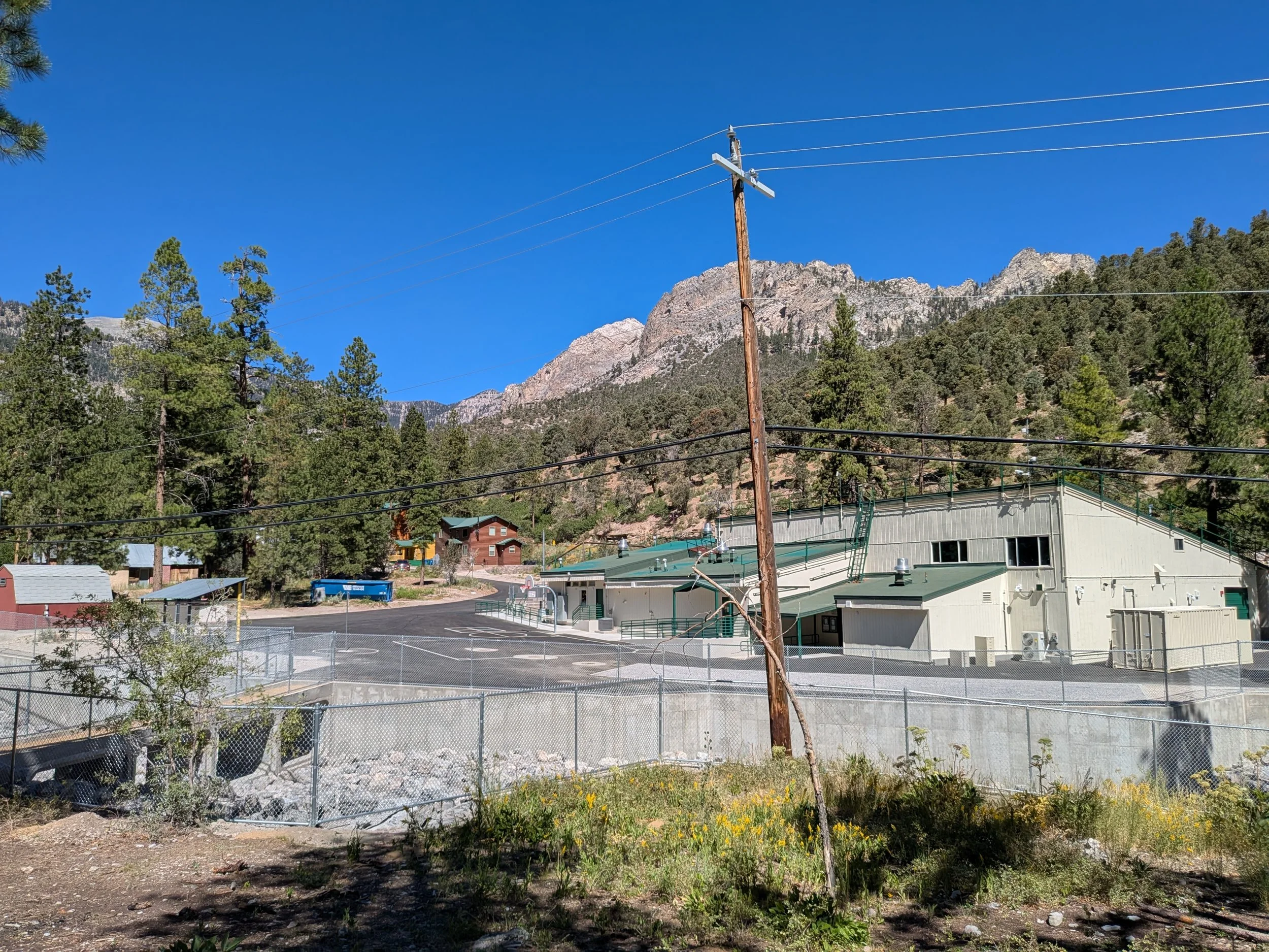
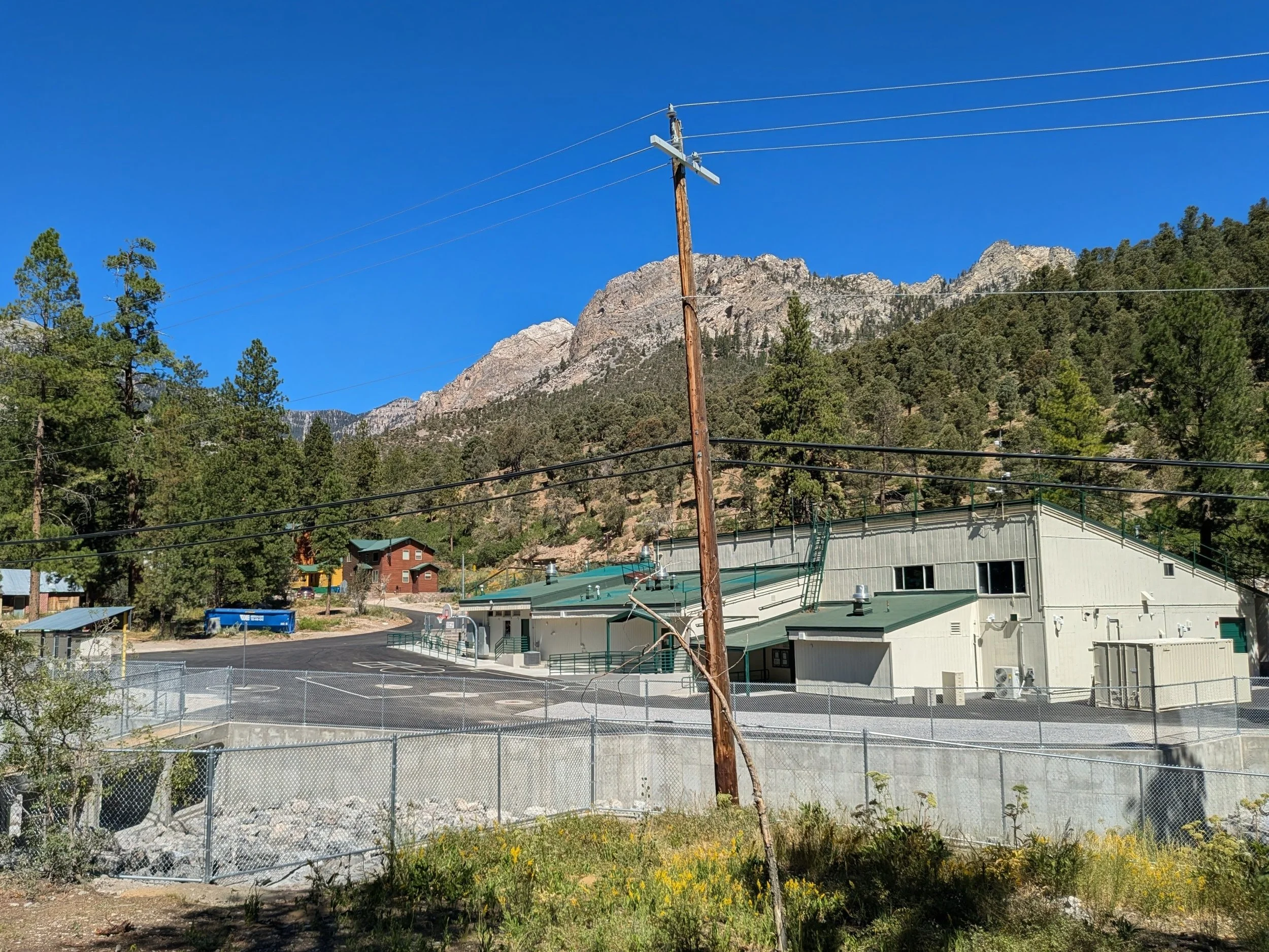
When floodwaters caused catastrophic damage to Lundy Elementary School, the clock started ticking on a politically charged, high-stakes renovation. With intense community scrutiny and an immovable deadline for the school year to open, the project stakeholders needed absolute precision.
As the premier drone data and aerial capture partner on-site, our mission was clear: deliver real-time, high-resolution aerial intelligence to keep a complex project on track, compliant, and safe.
Lundy ESThe Challenge: High Politics & Flood Zone Complexities
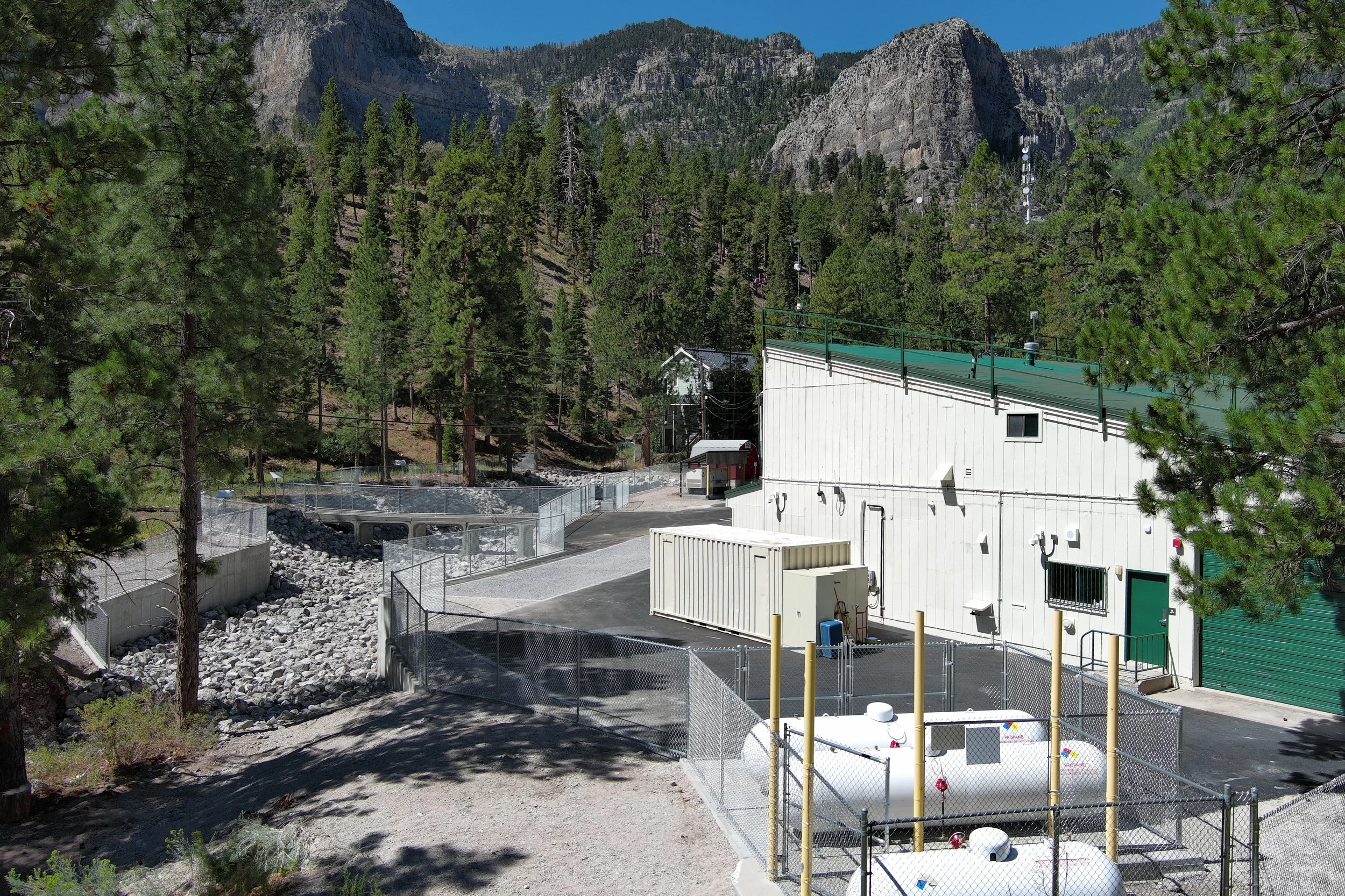
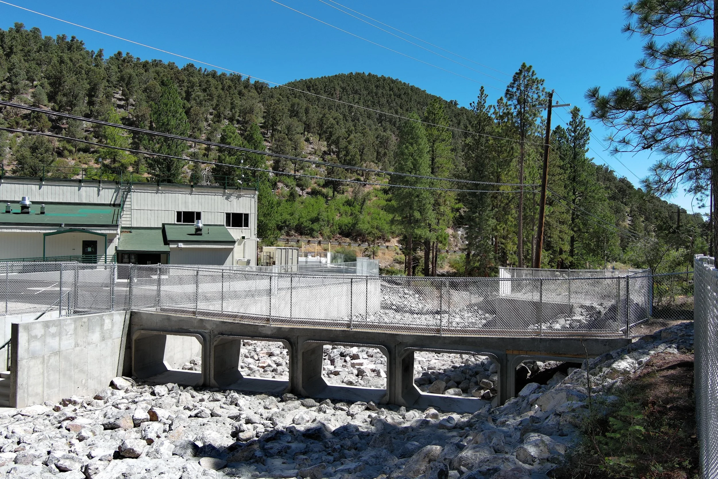
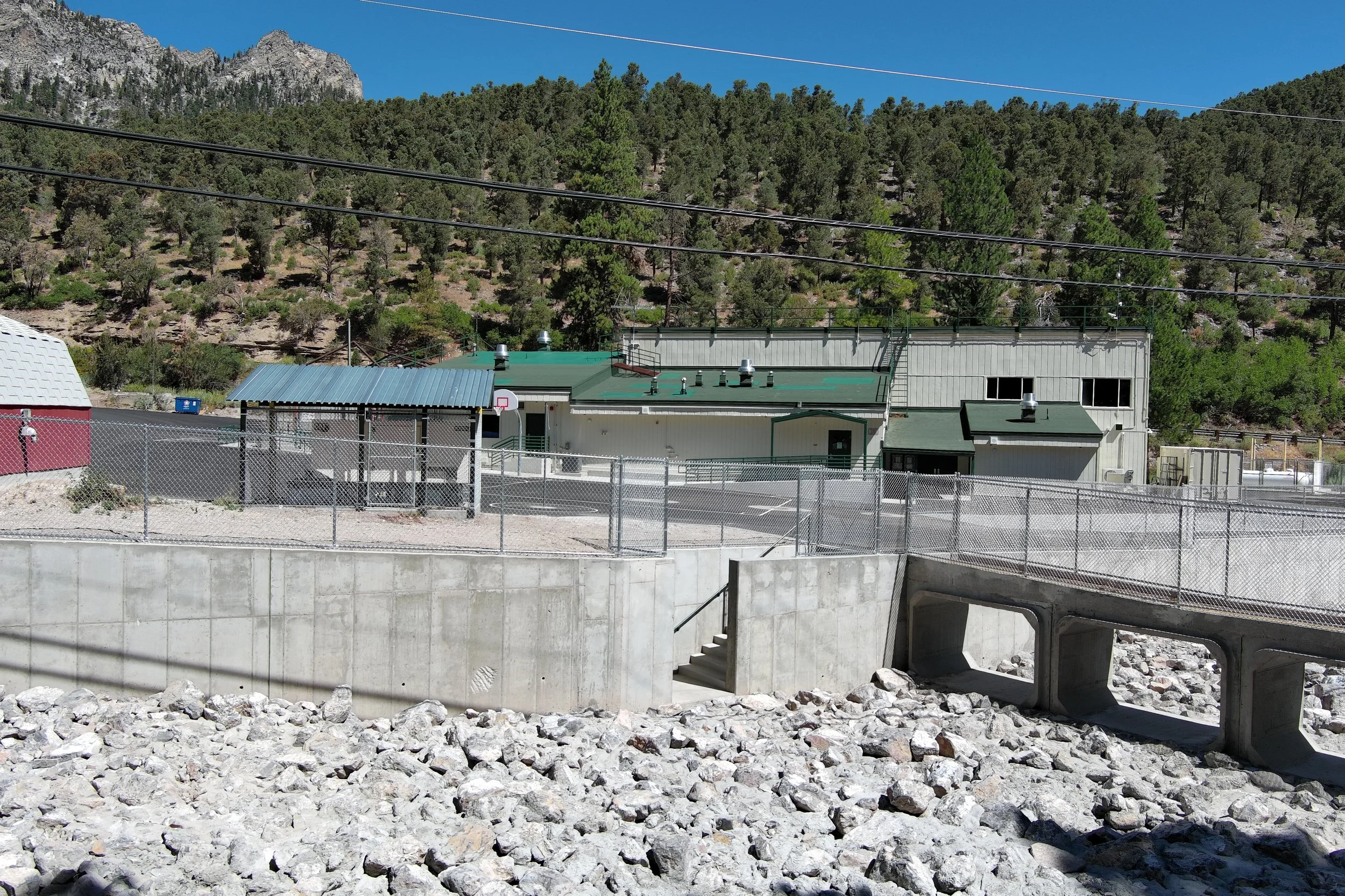
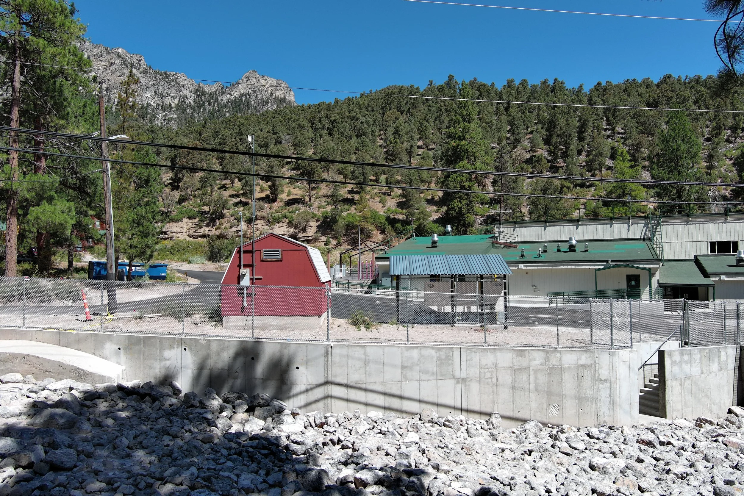
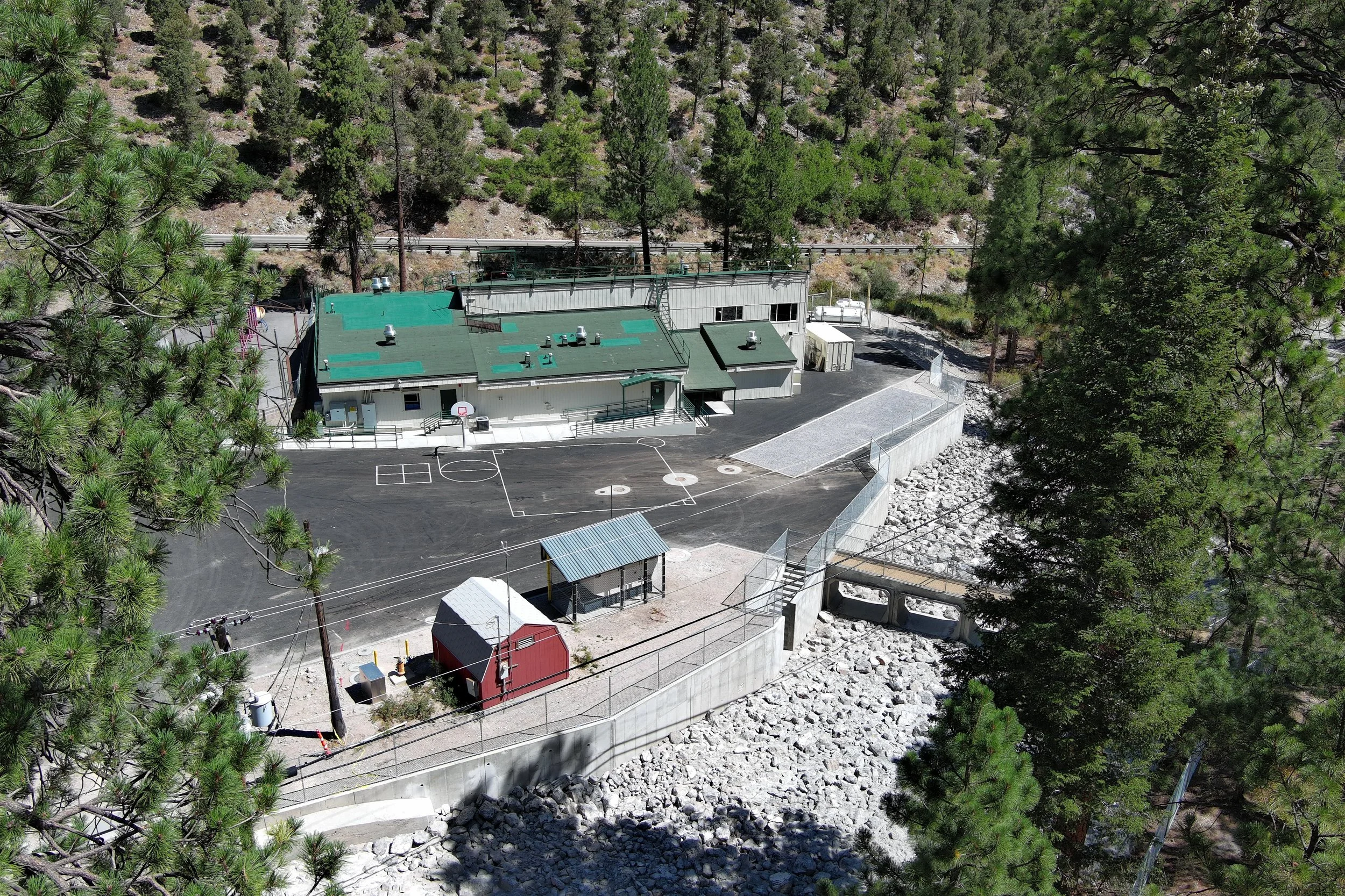
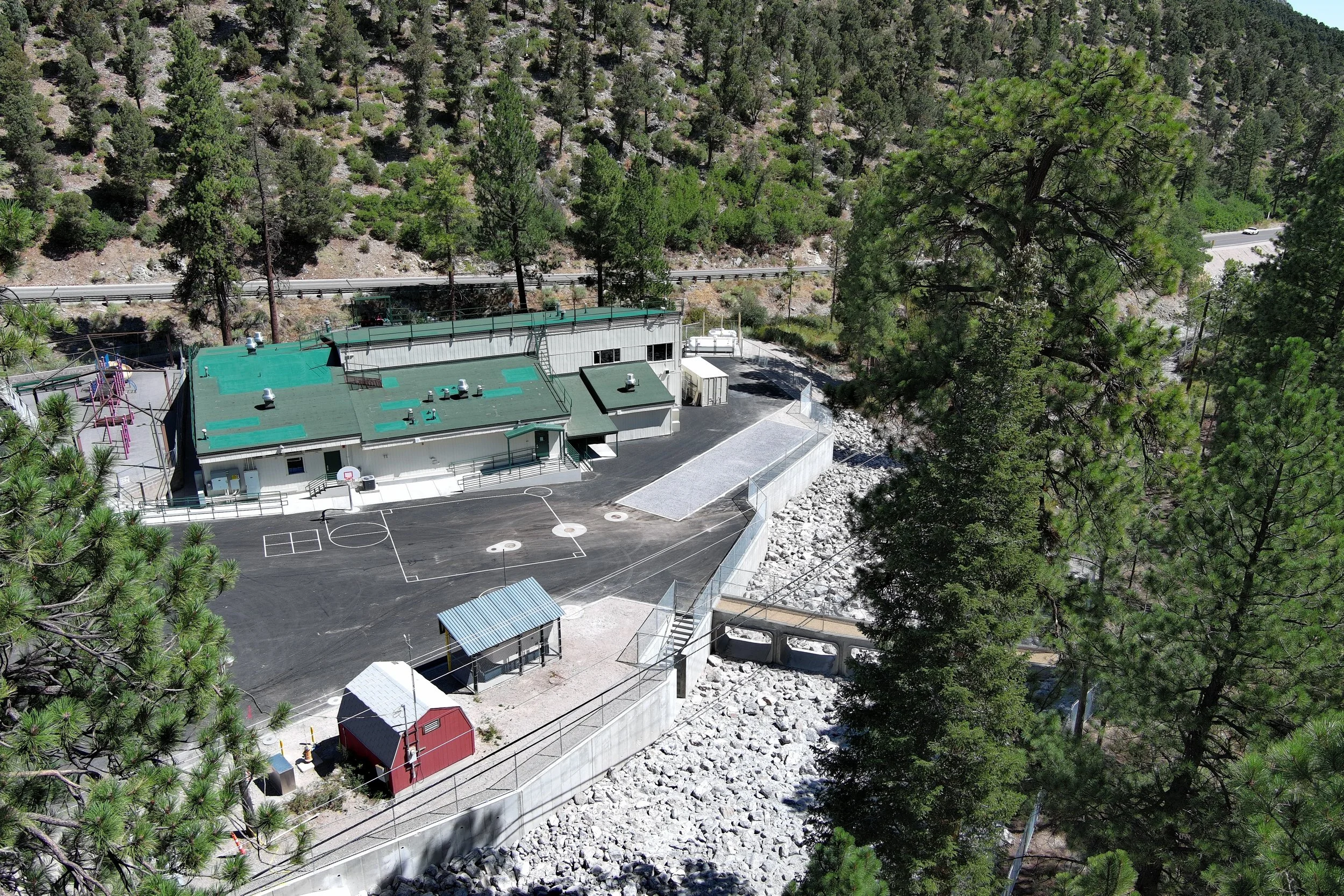
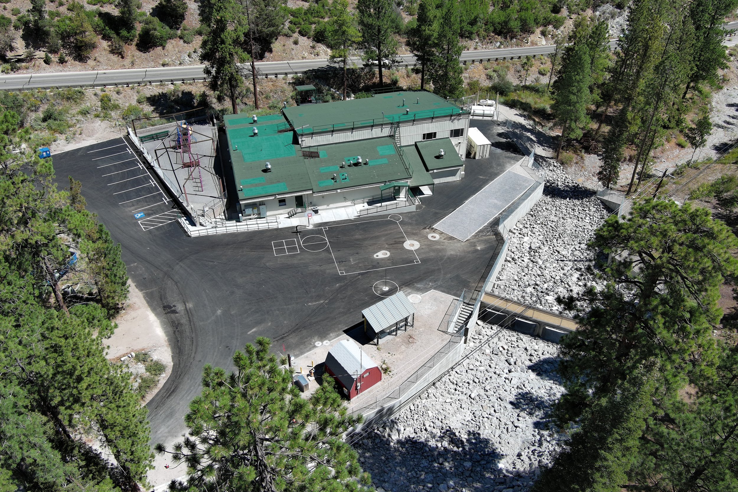
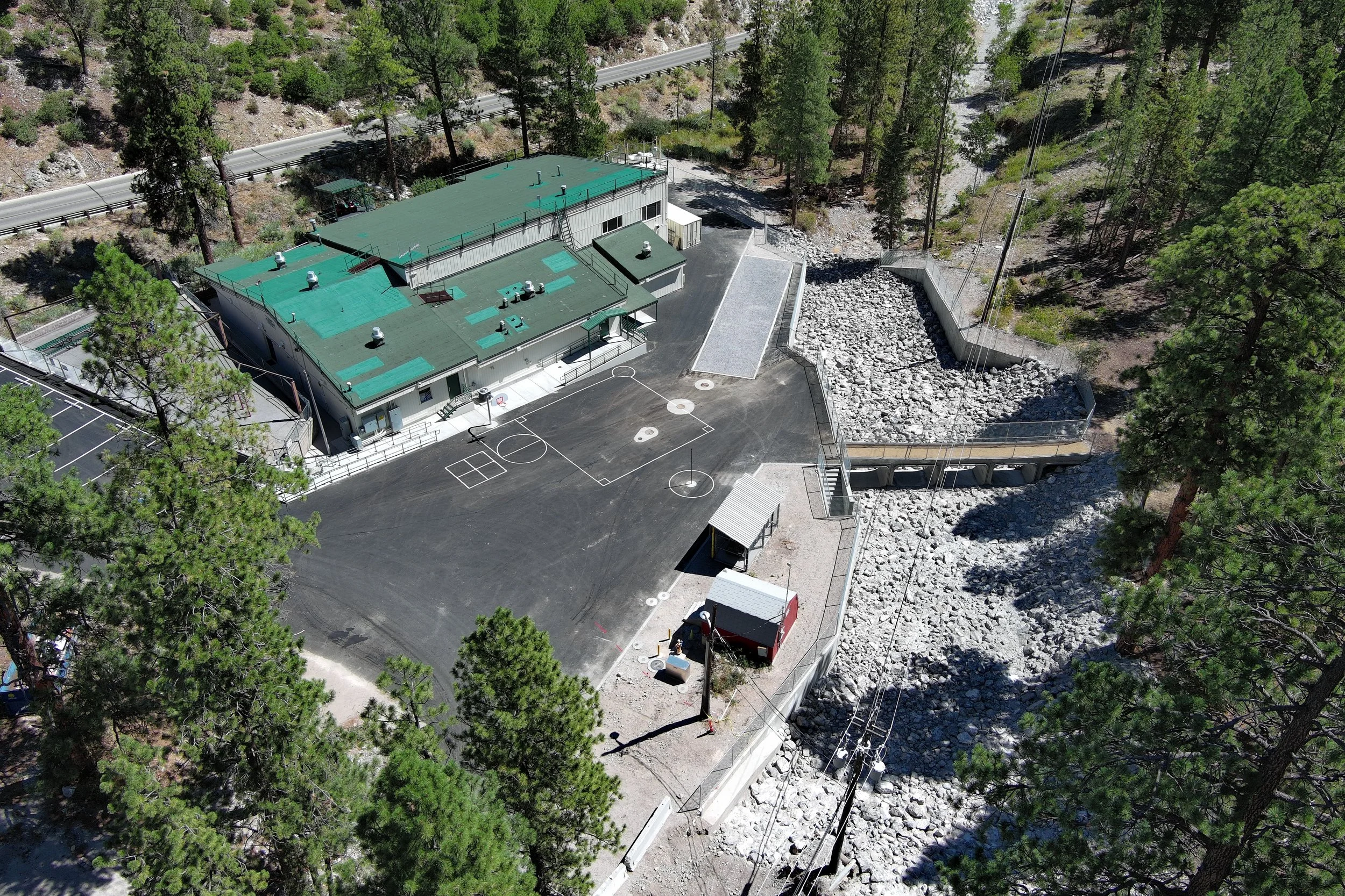
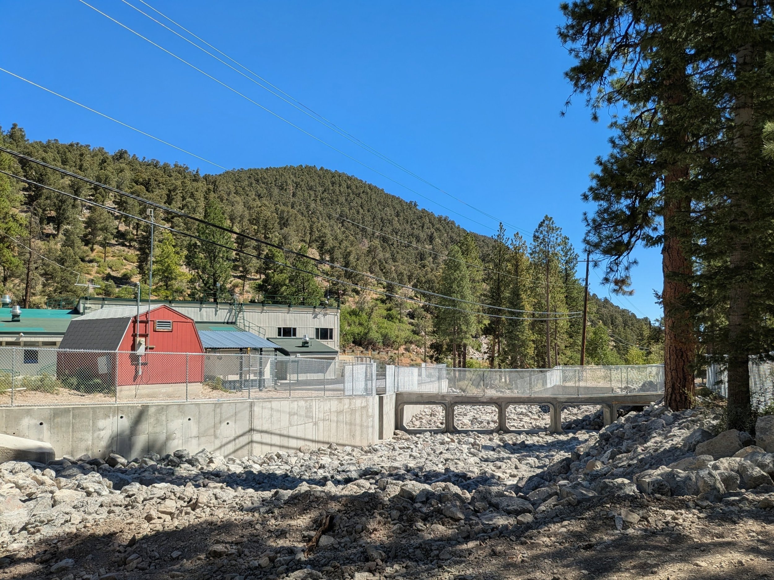
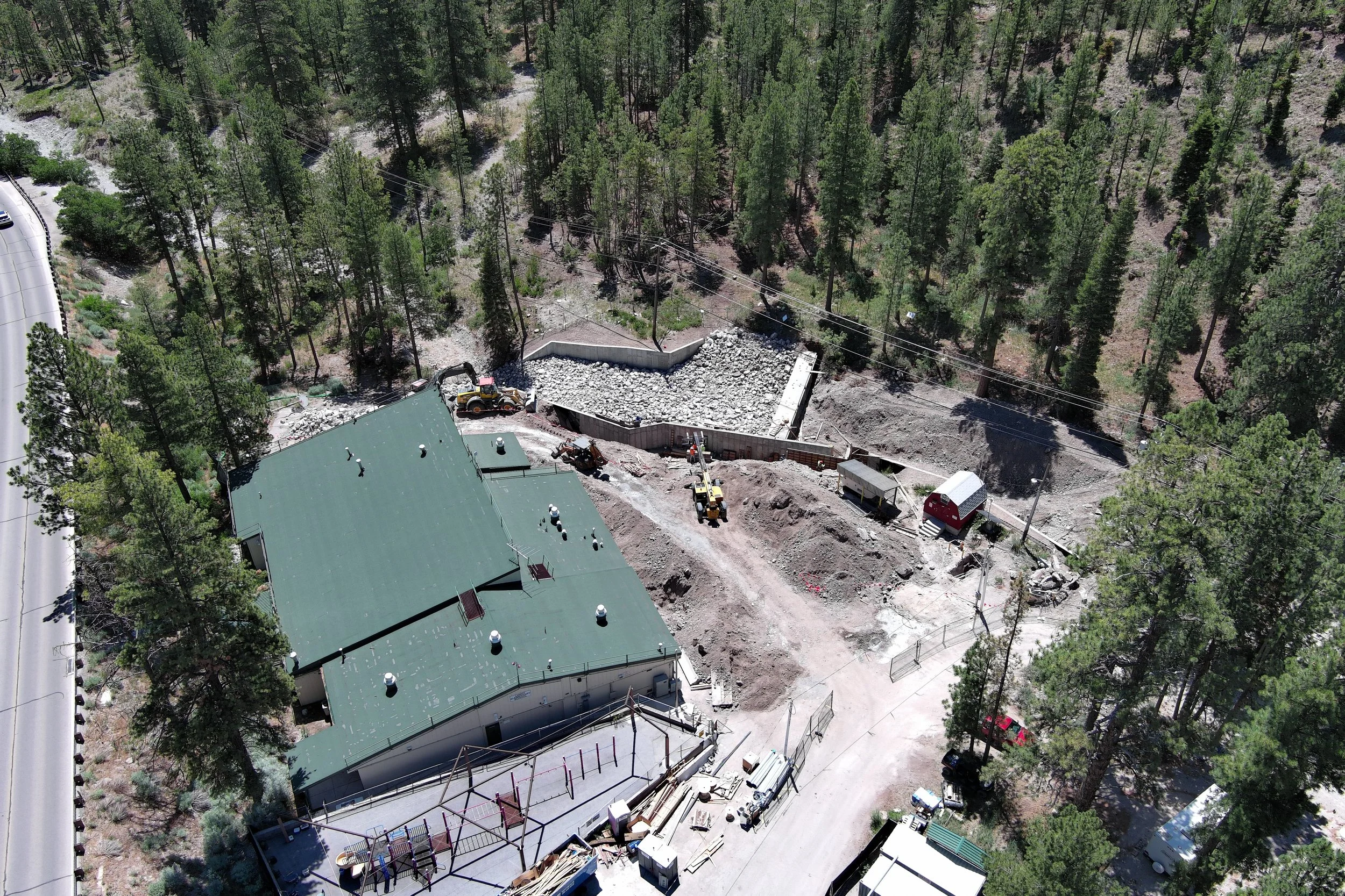
Operating in an active, high-risk flood zone meant standard construction tracking wouldn't cut it. Every decision was under a microscope, and unpredictable weather threatened strict deadlines. We deployed advanced UAV (Unmanned Aerial Vehicle) mapping to provide the construction team, engineers, and stakeholders with undeniable, bird's-eye clarity, ensuring no time was wasted
Lundy ESCritical Drone Capture Deliverables
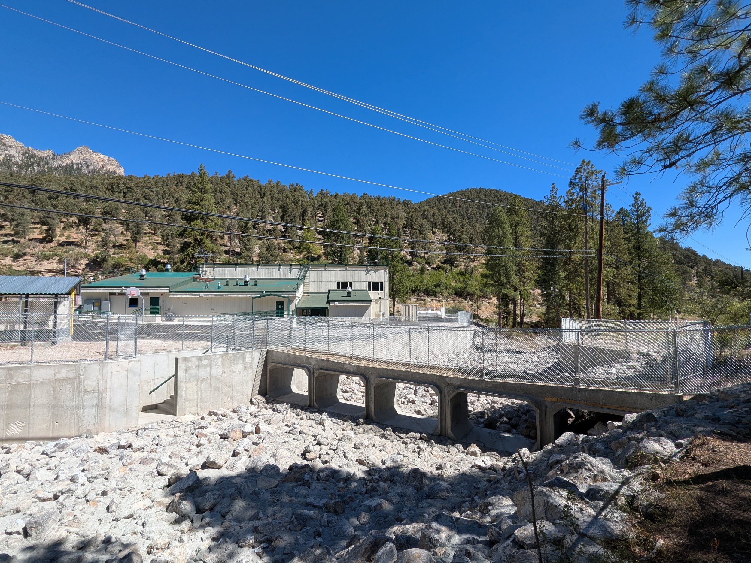
Our aerial data and orthomosaic mapping played a pivotal role in tracking the school's most critical, time-sensitive restorations:
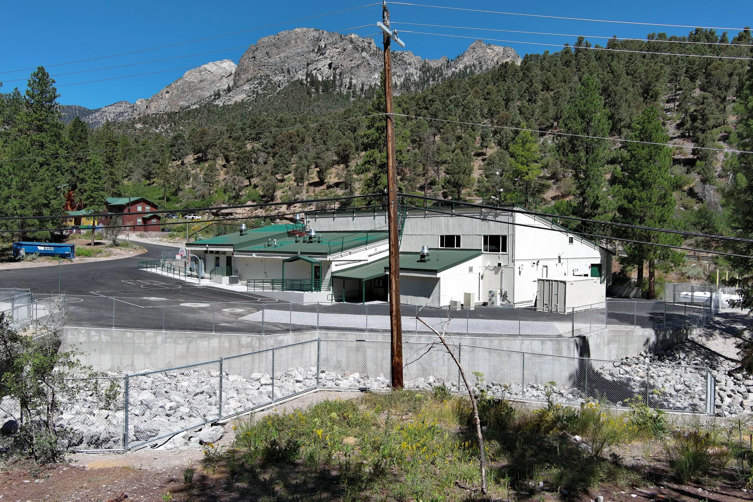
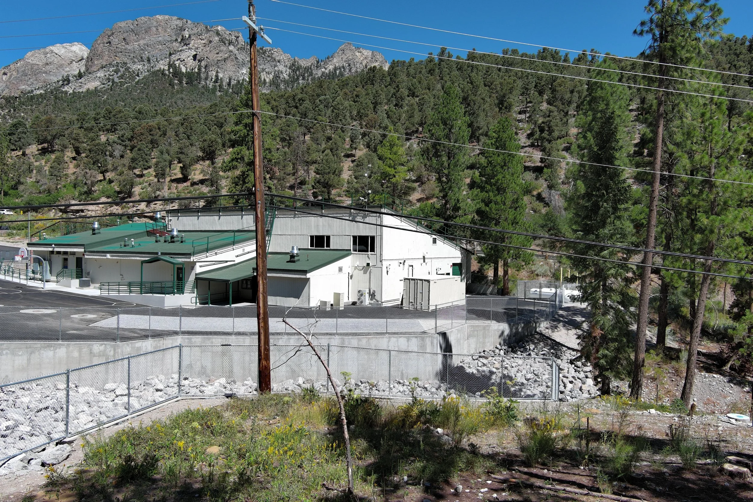
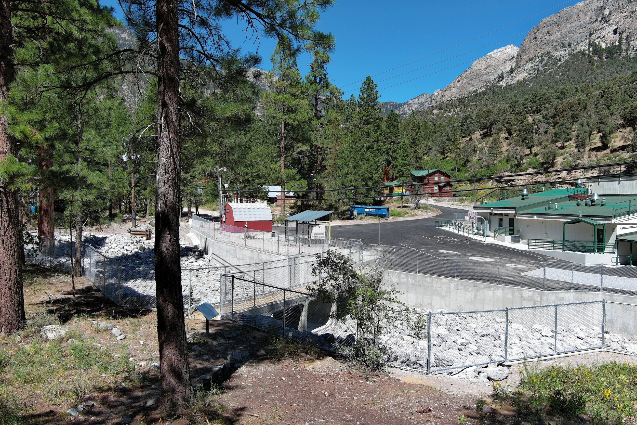
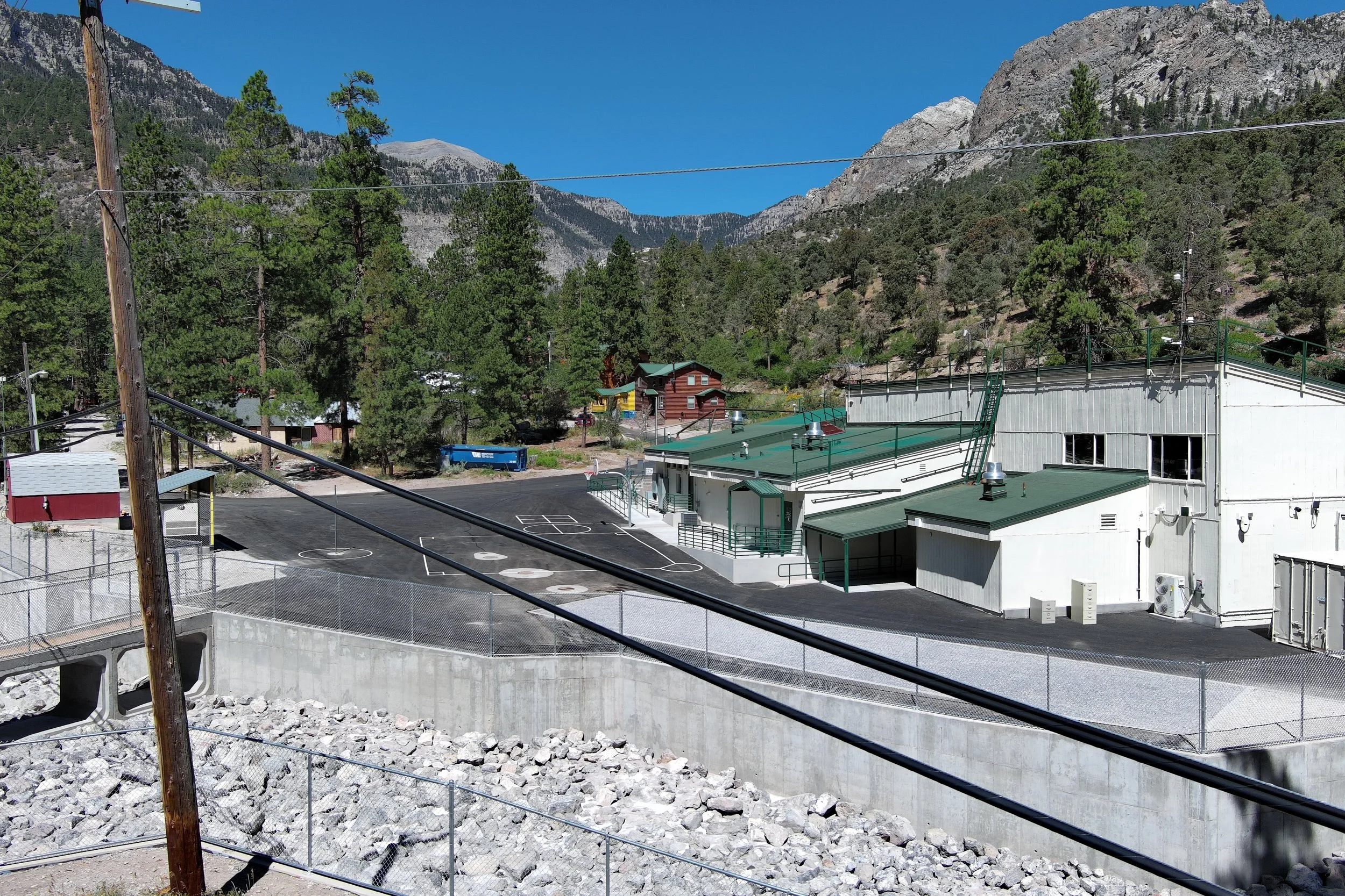
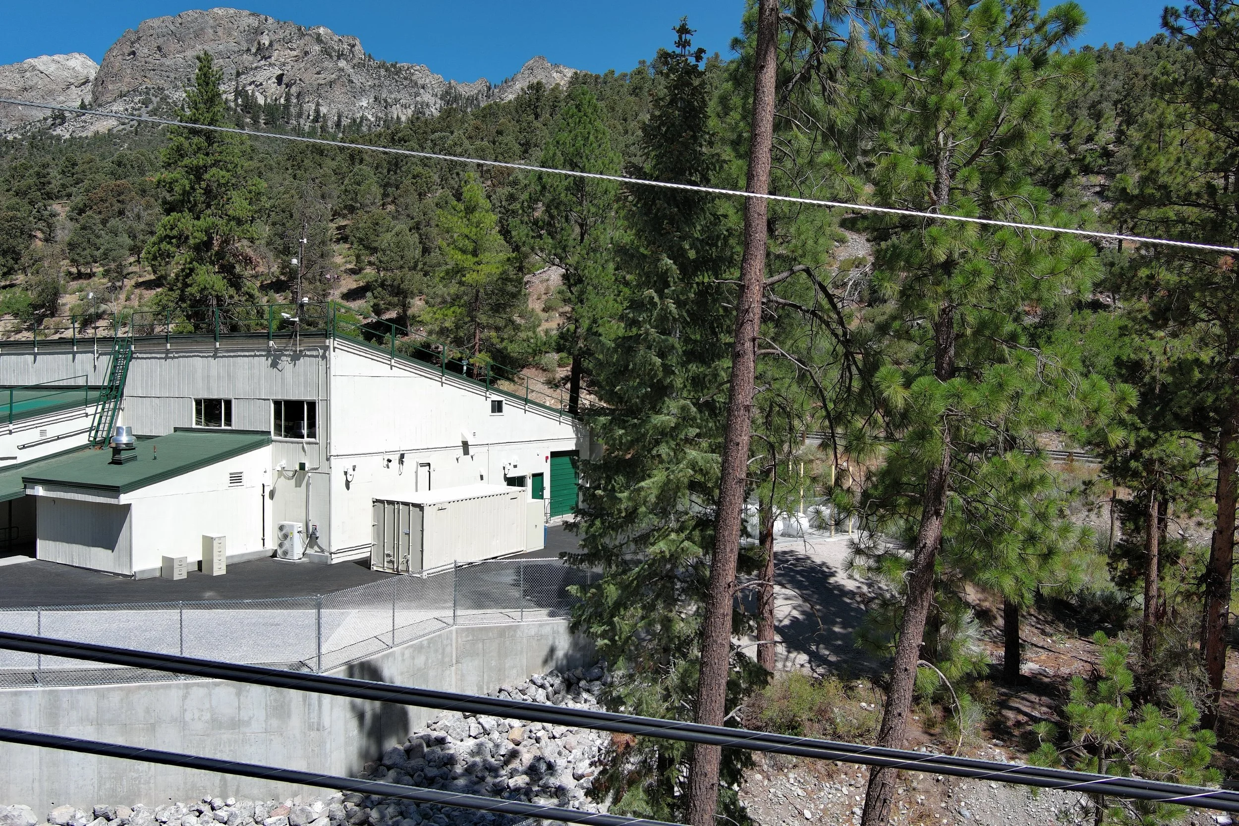
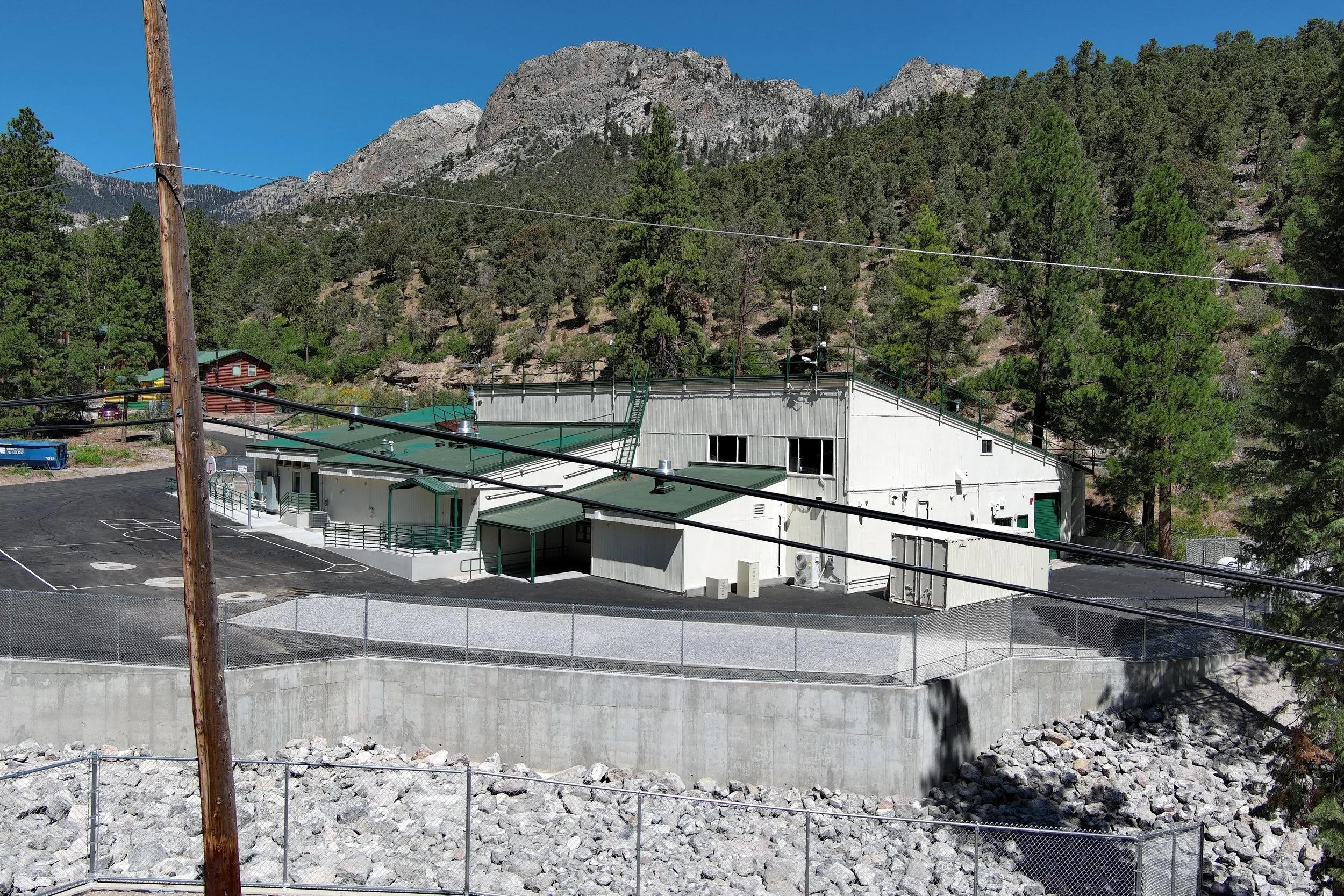
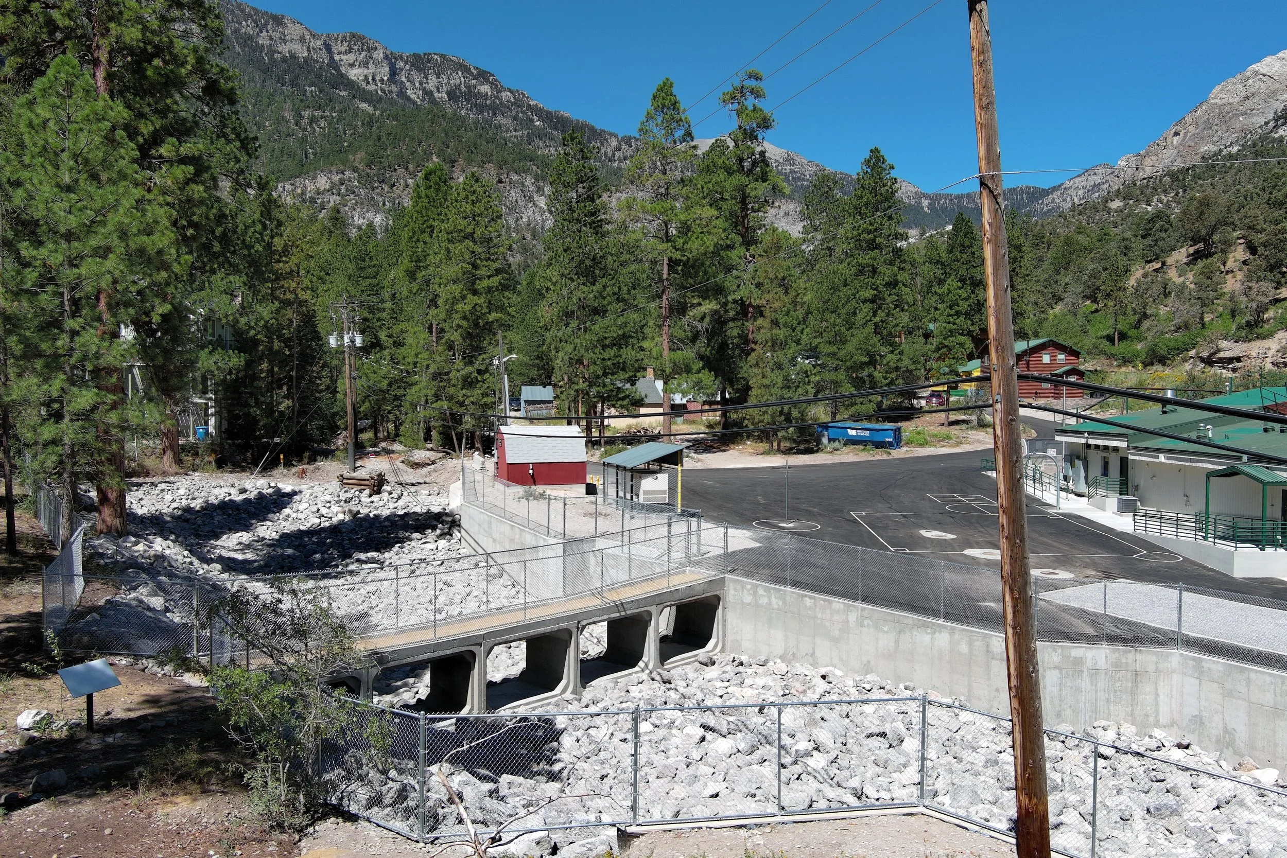
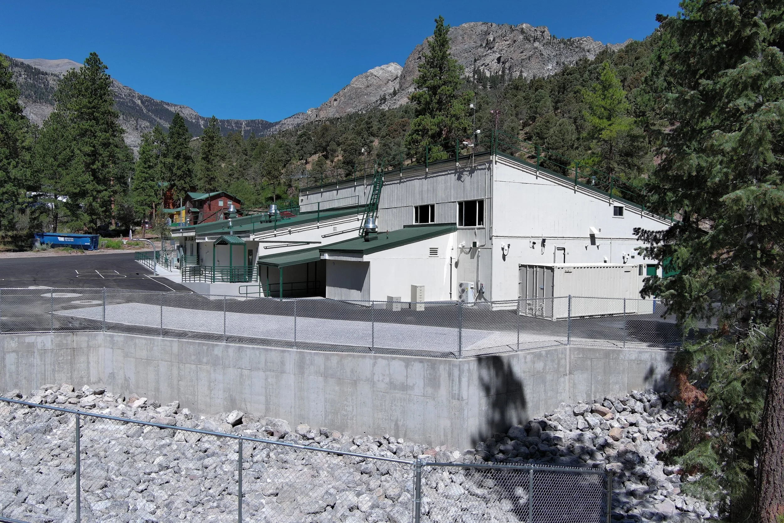
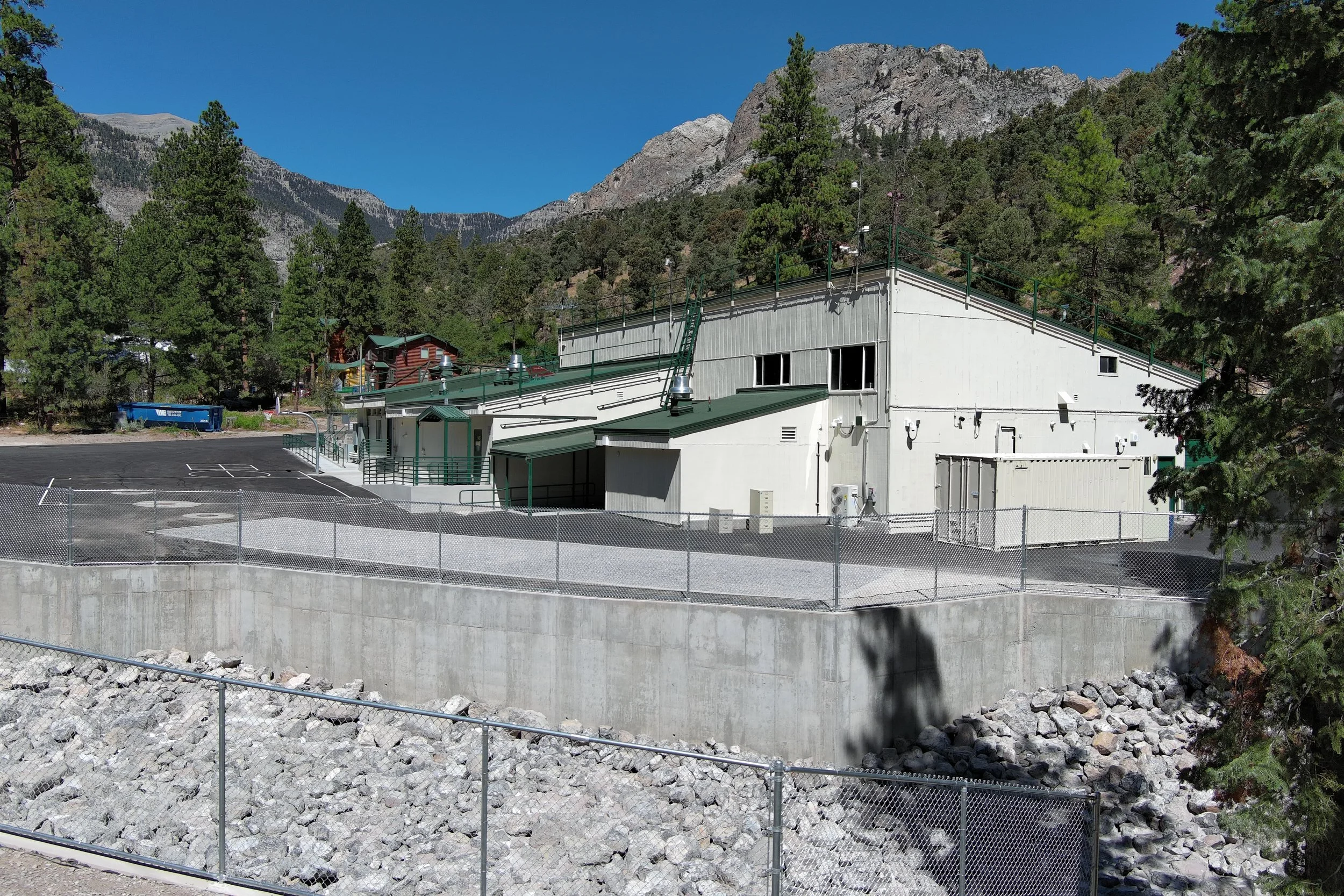
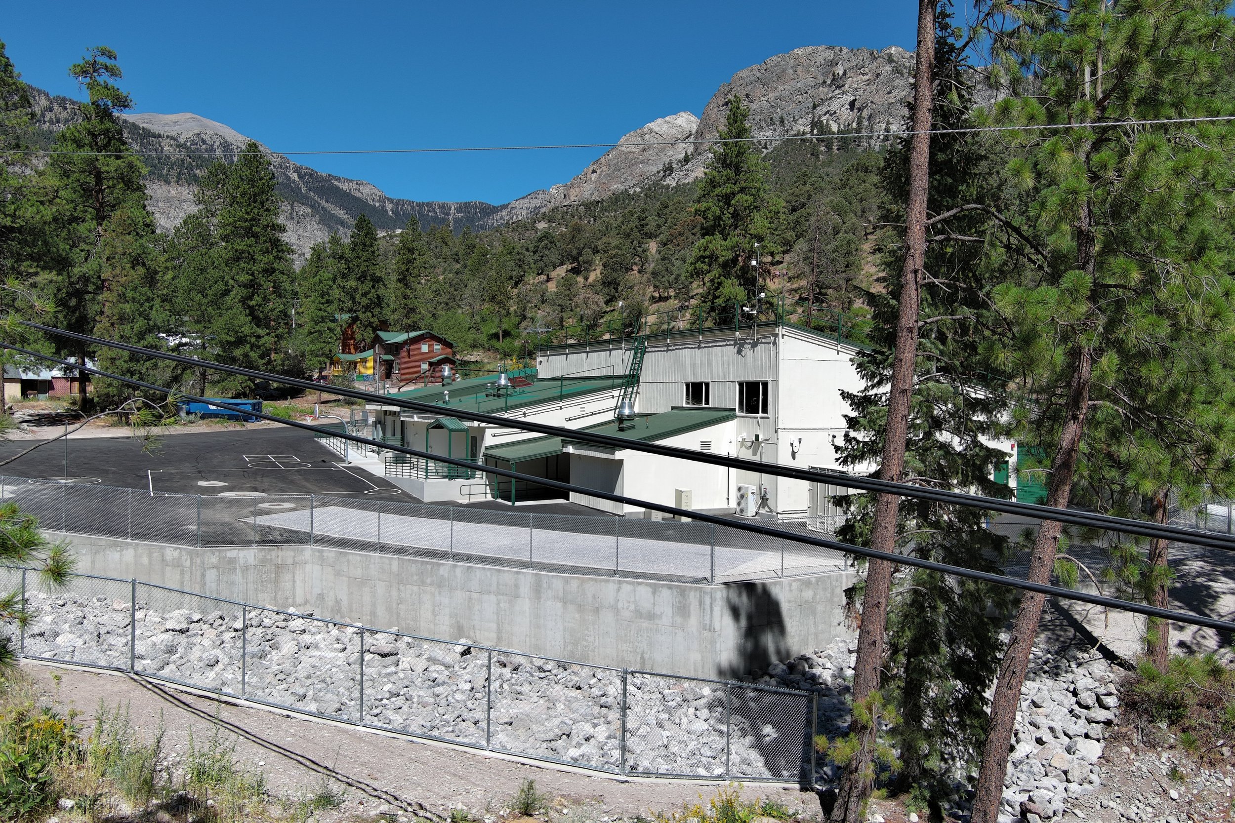
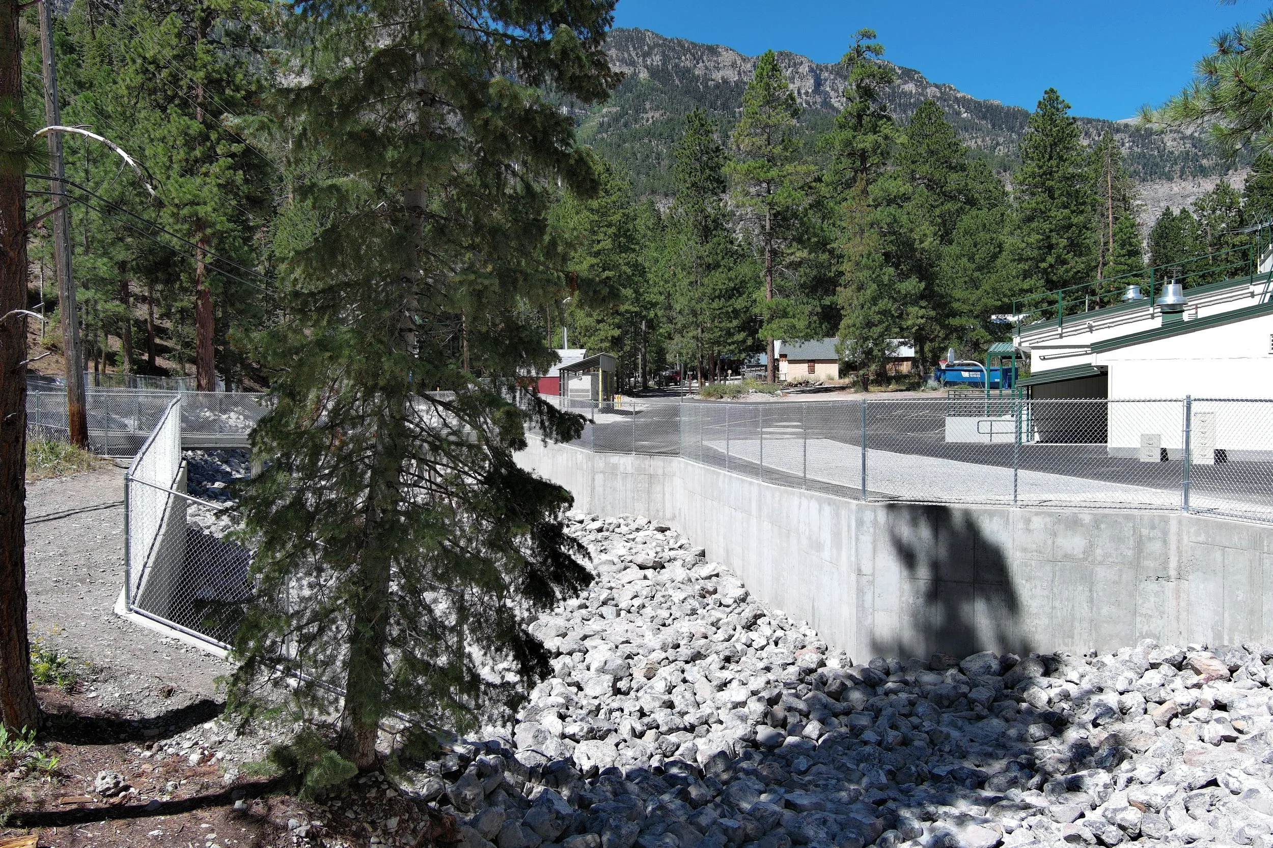
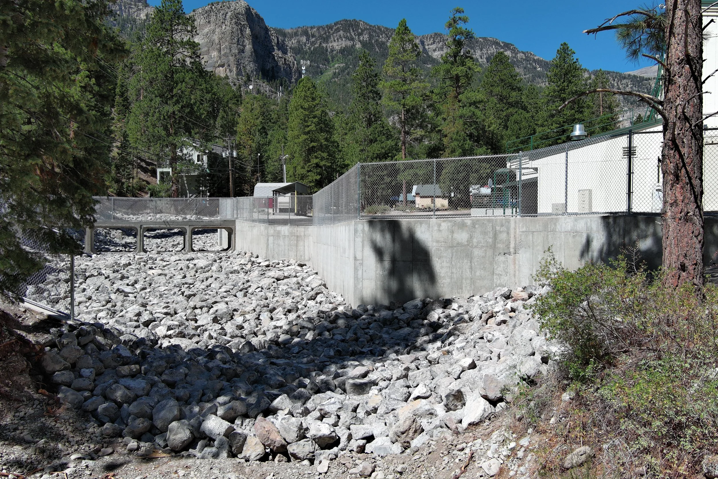
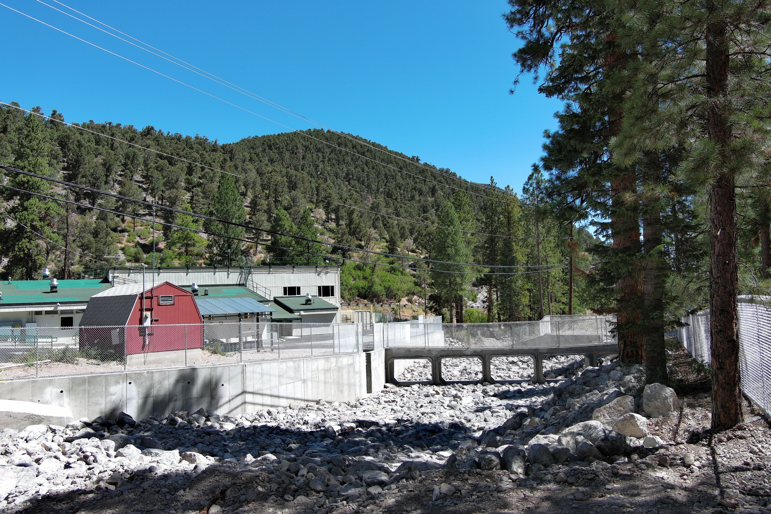
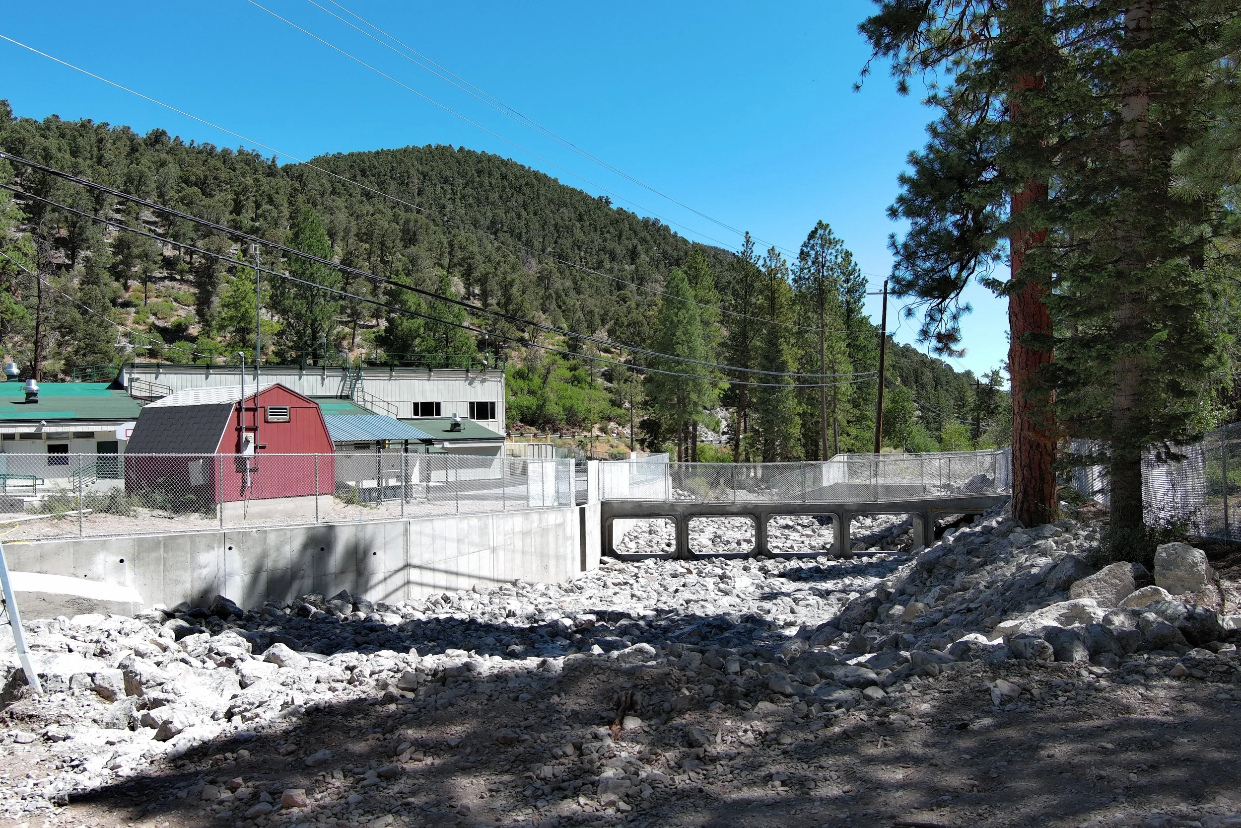
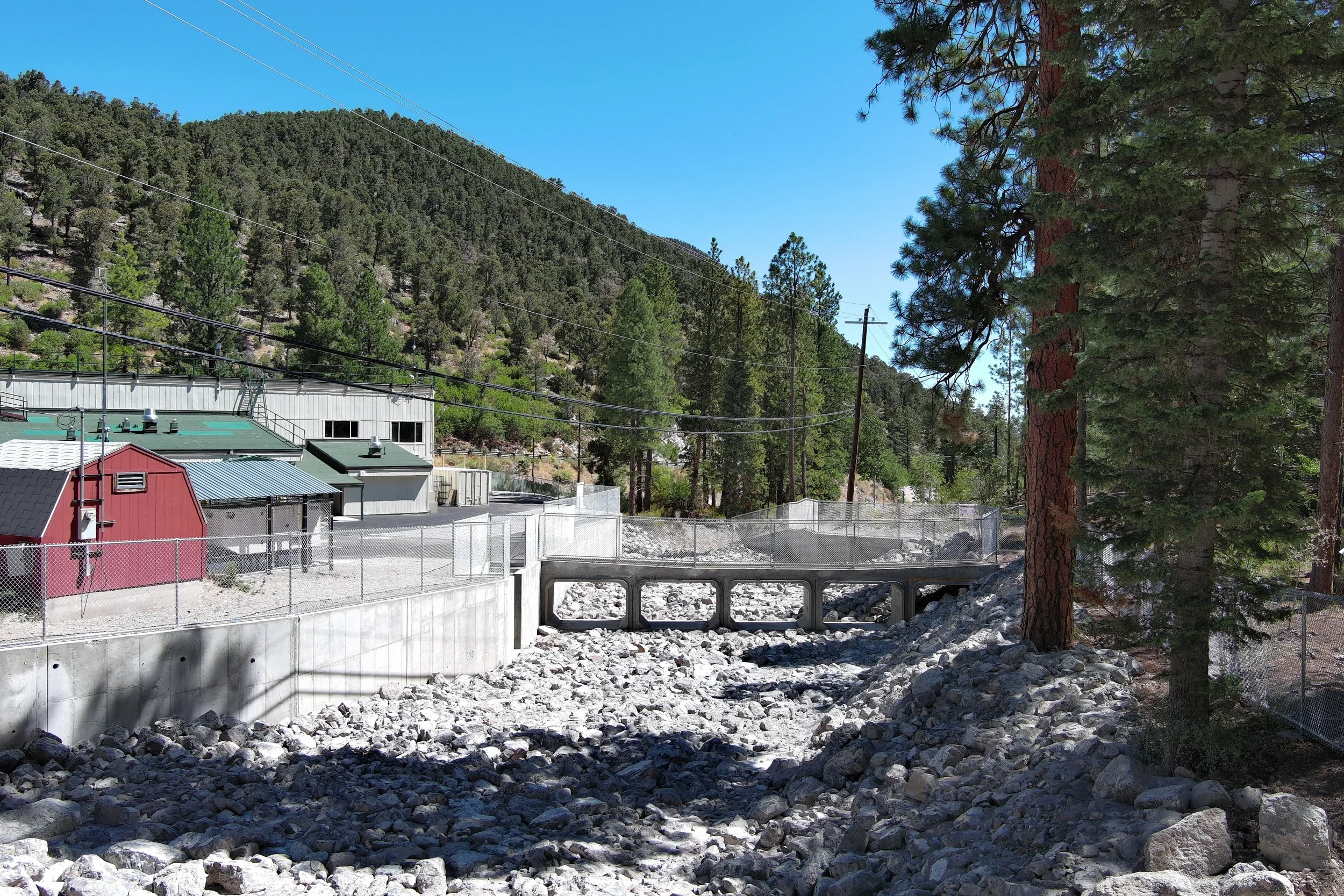
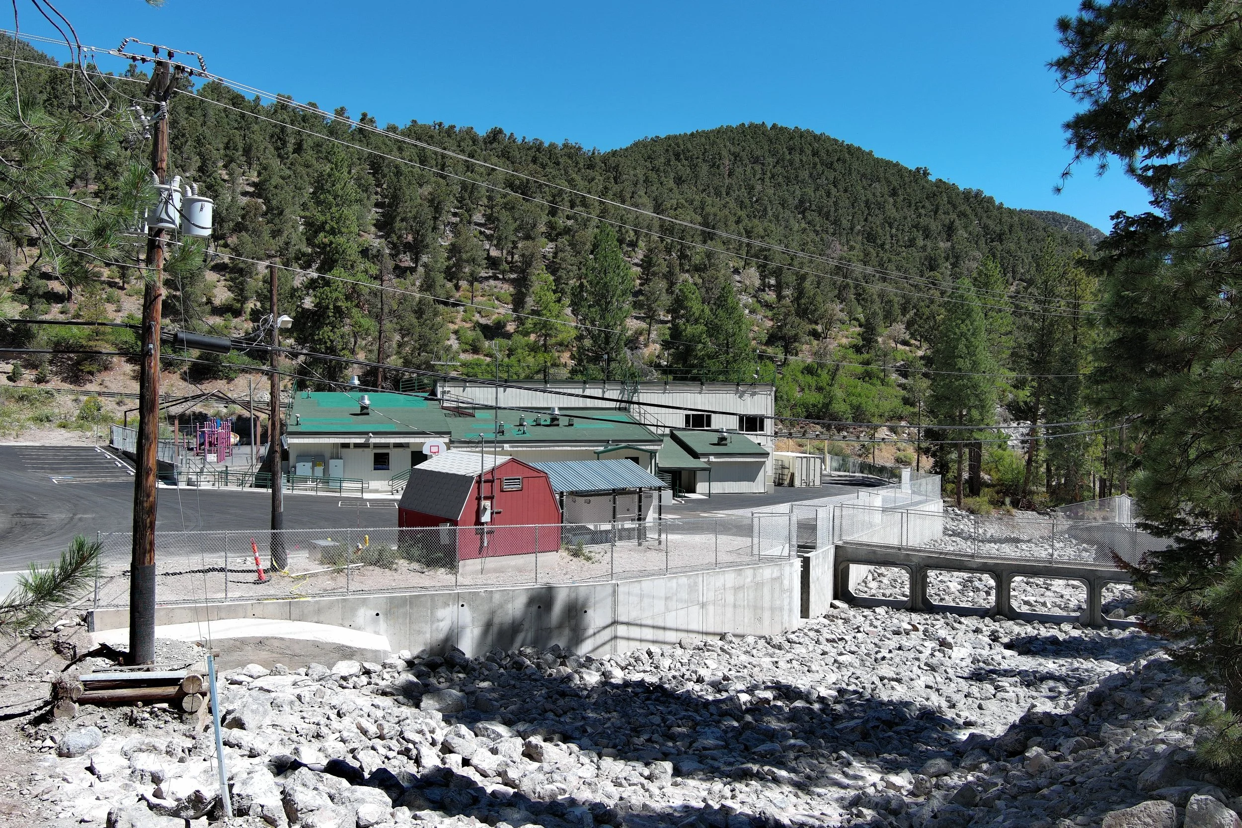
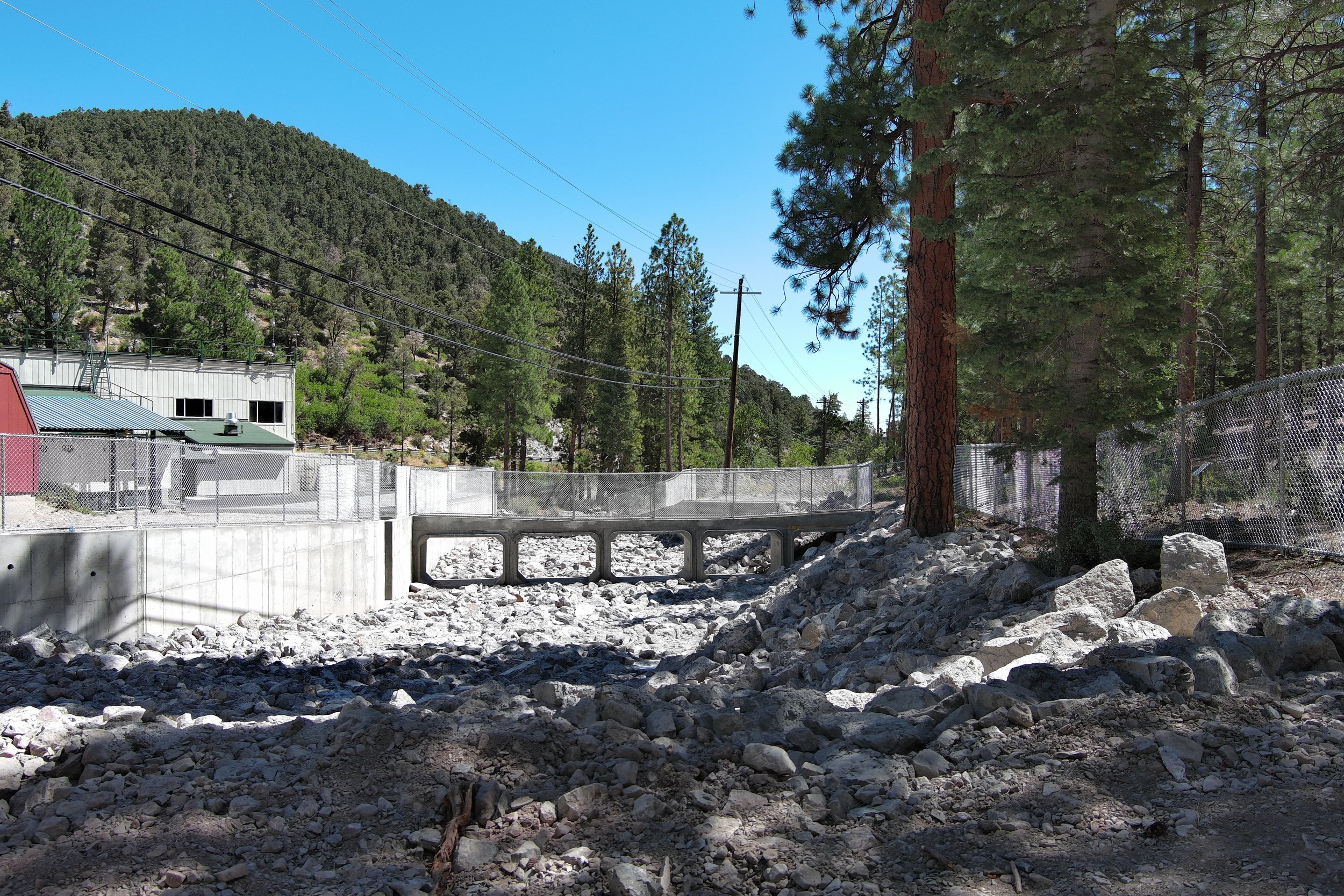
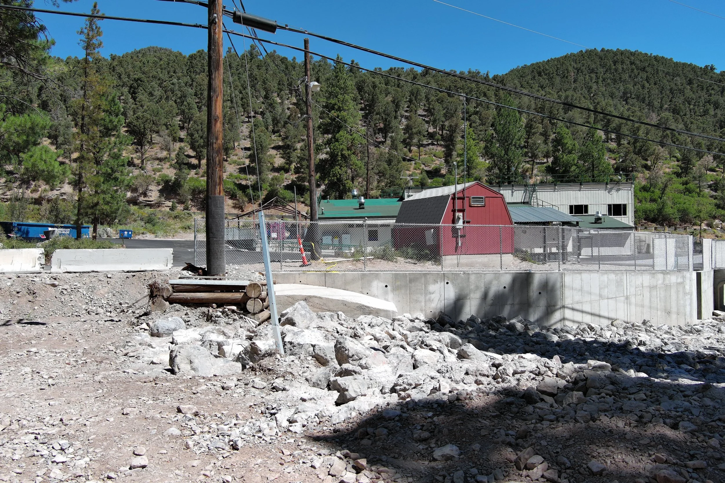
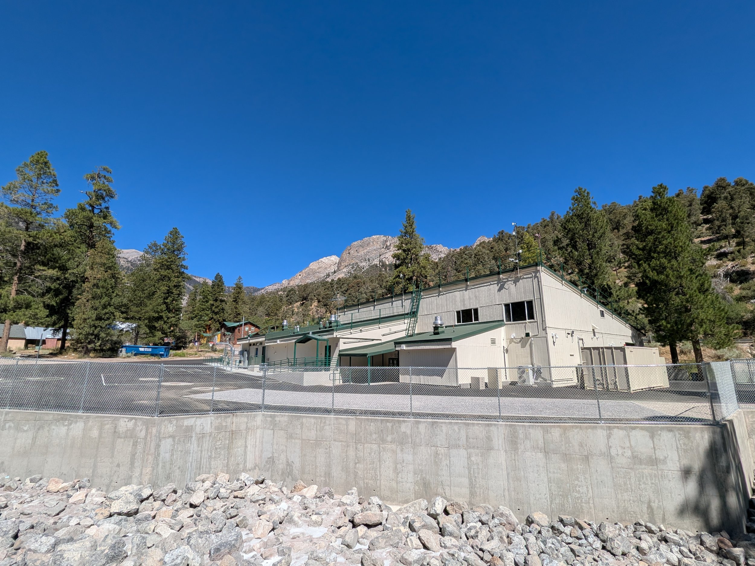
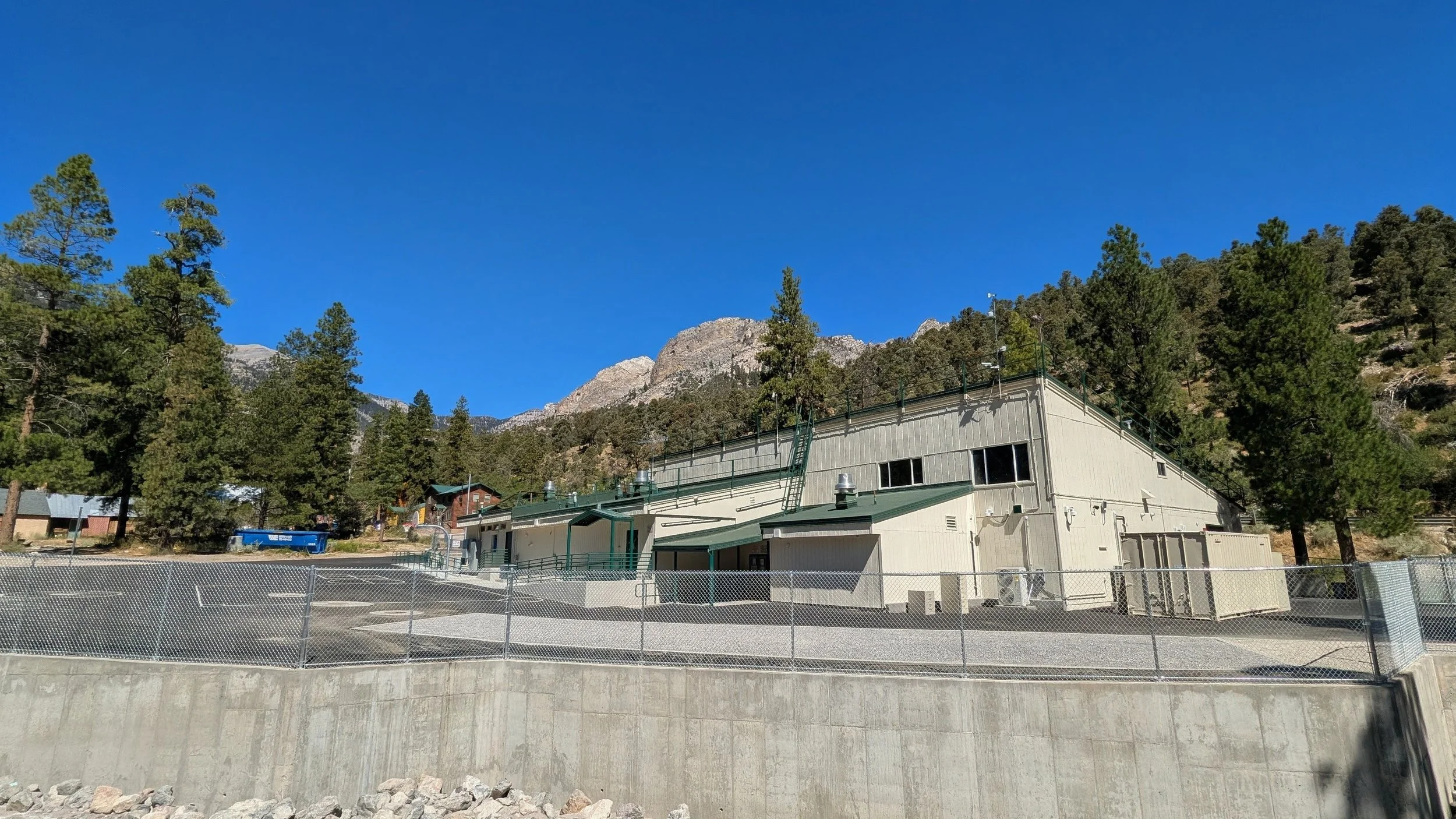
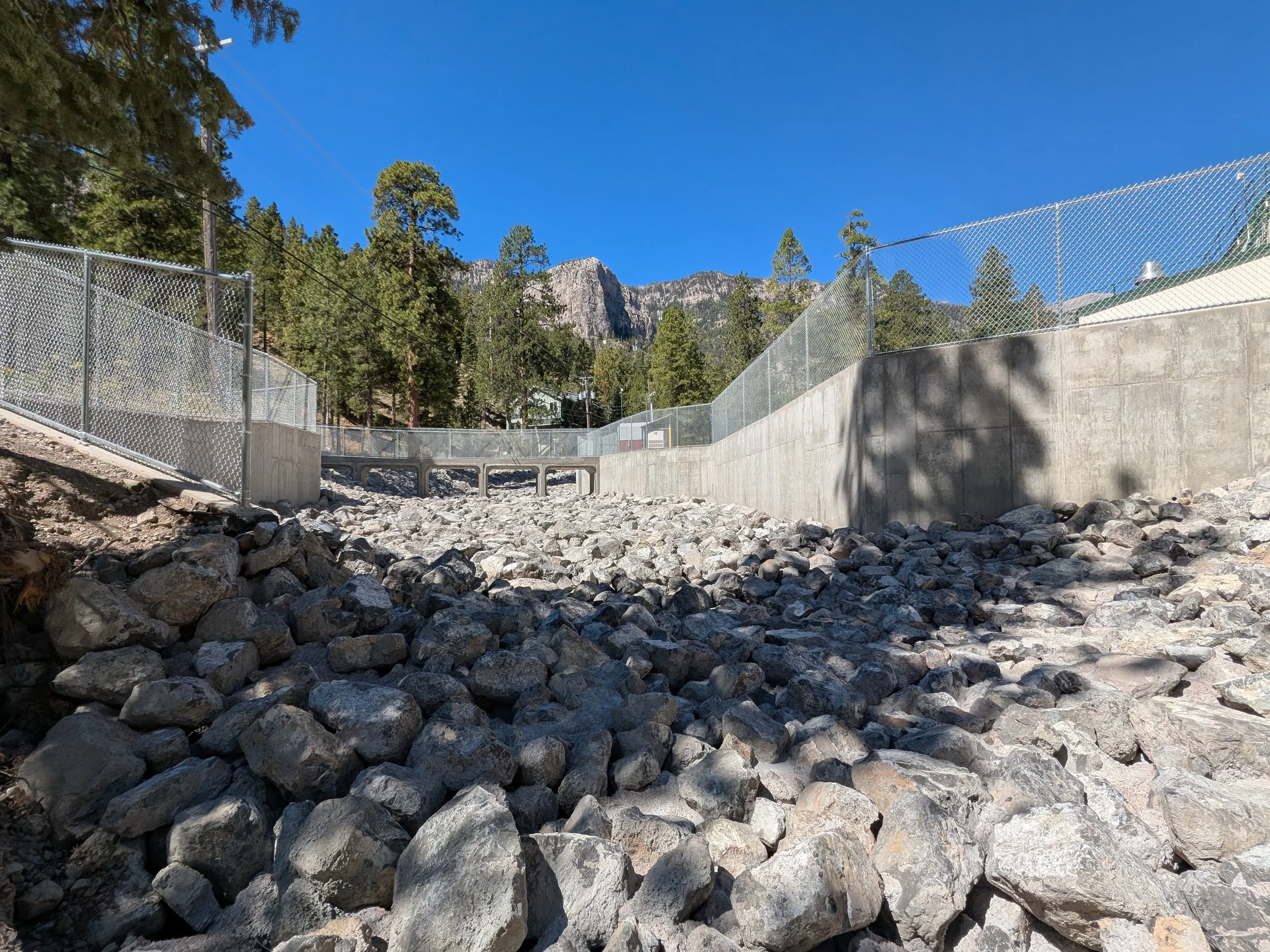
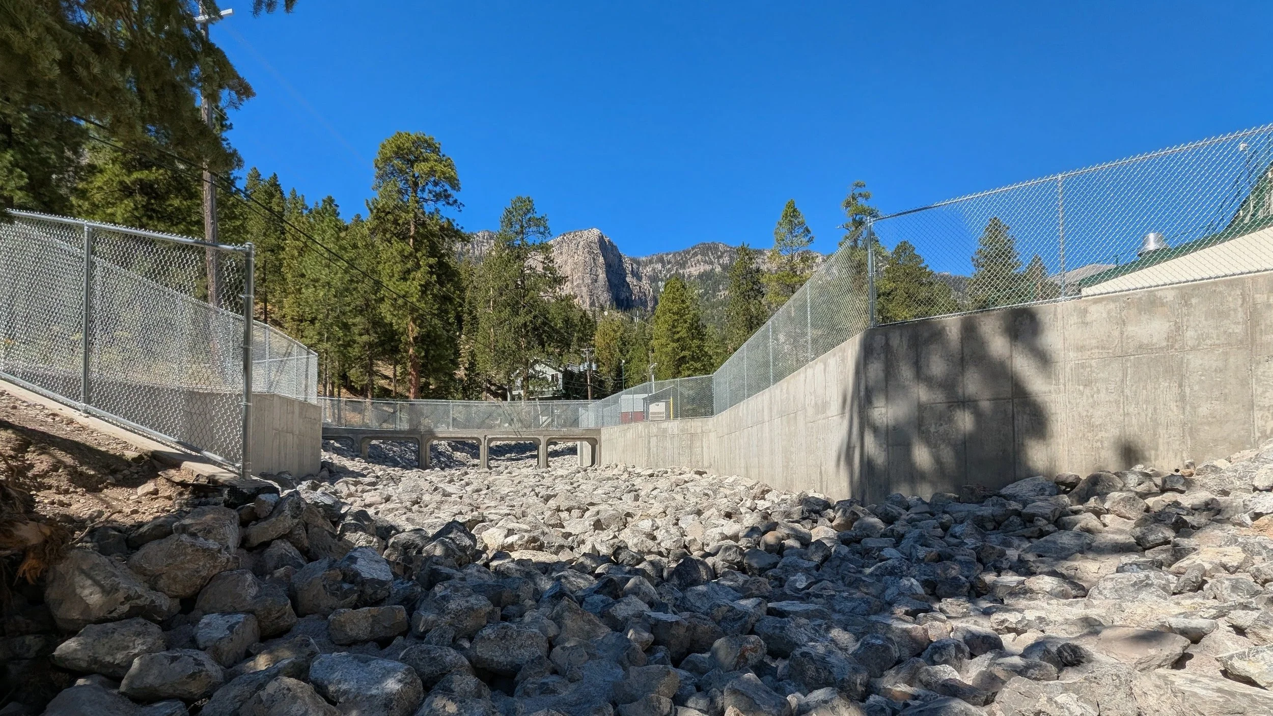
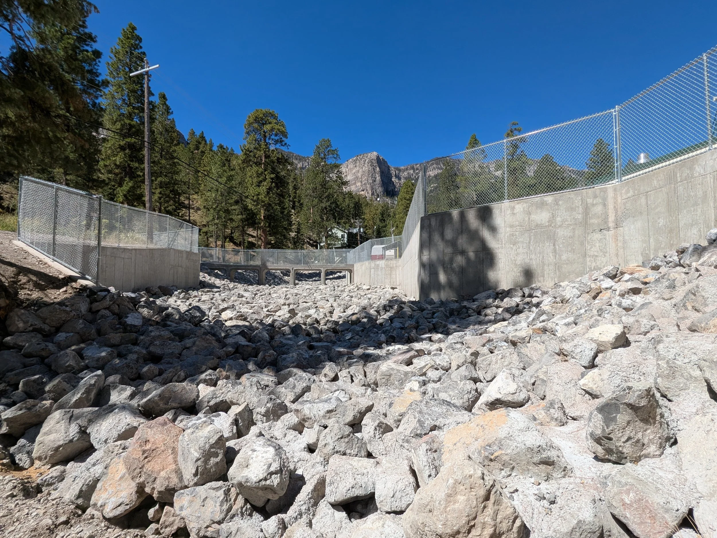
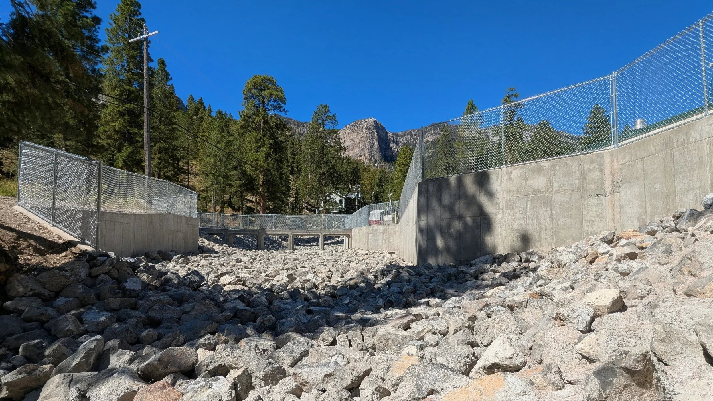
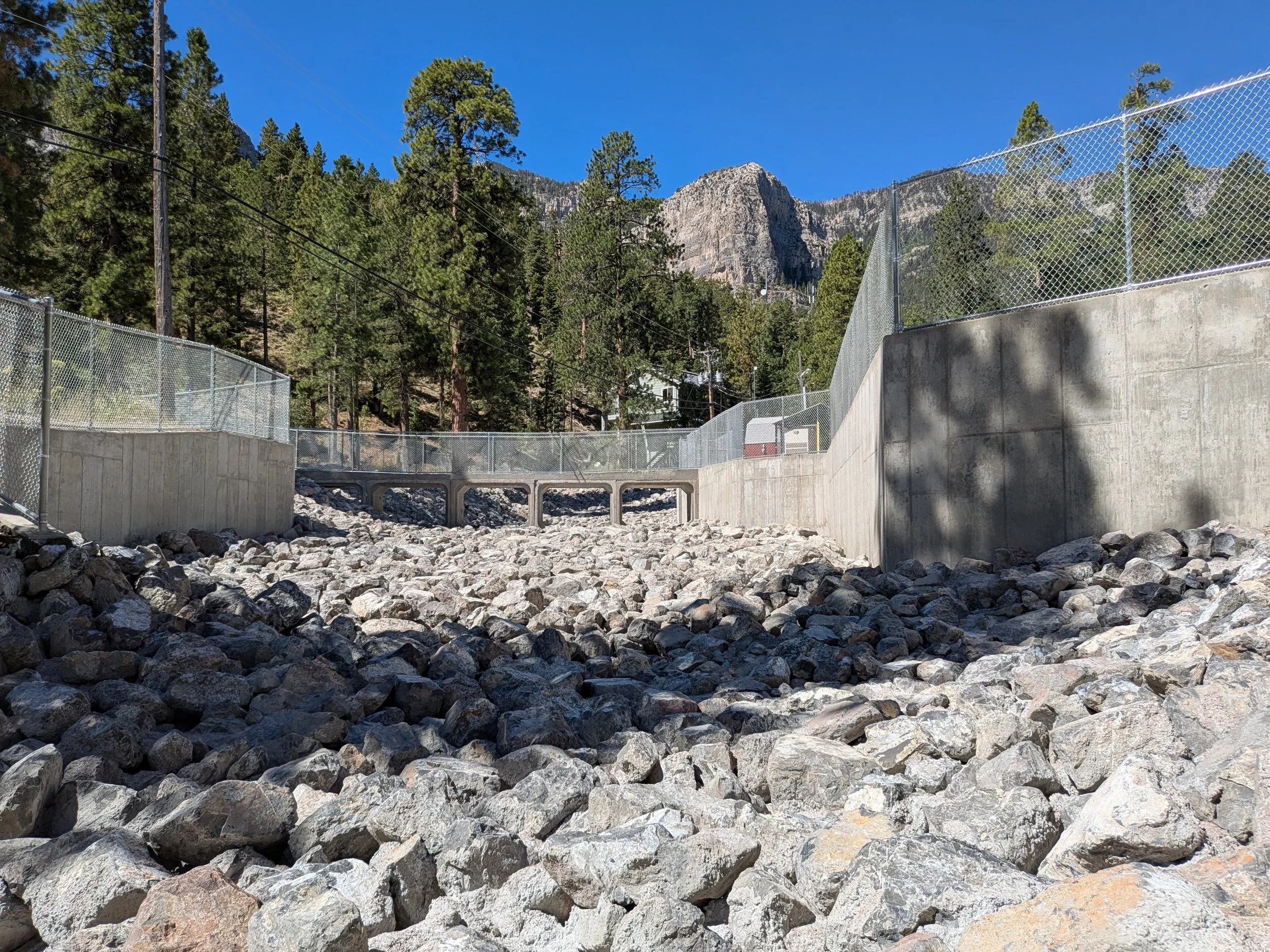
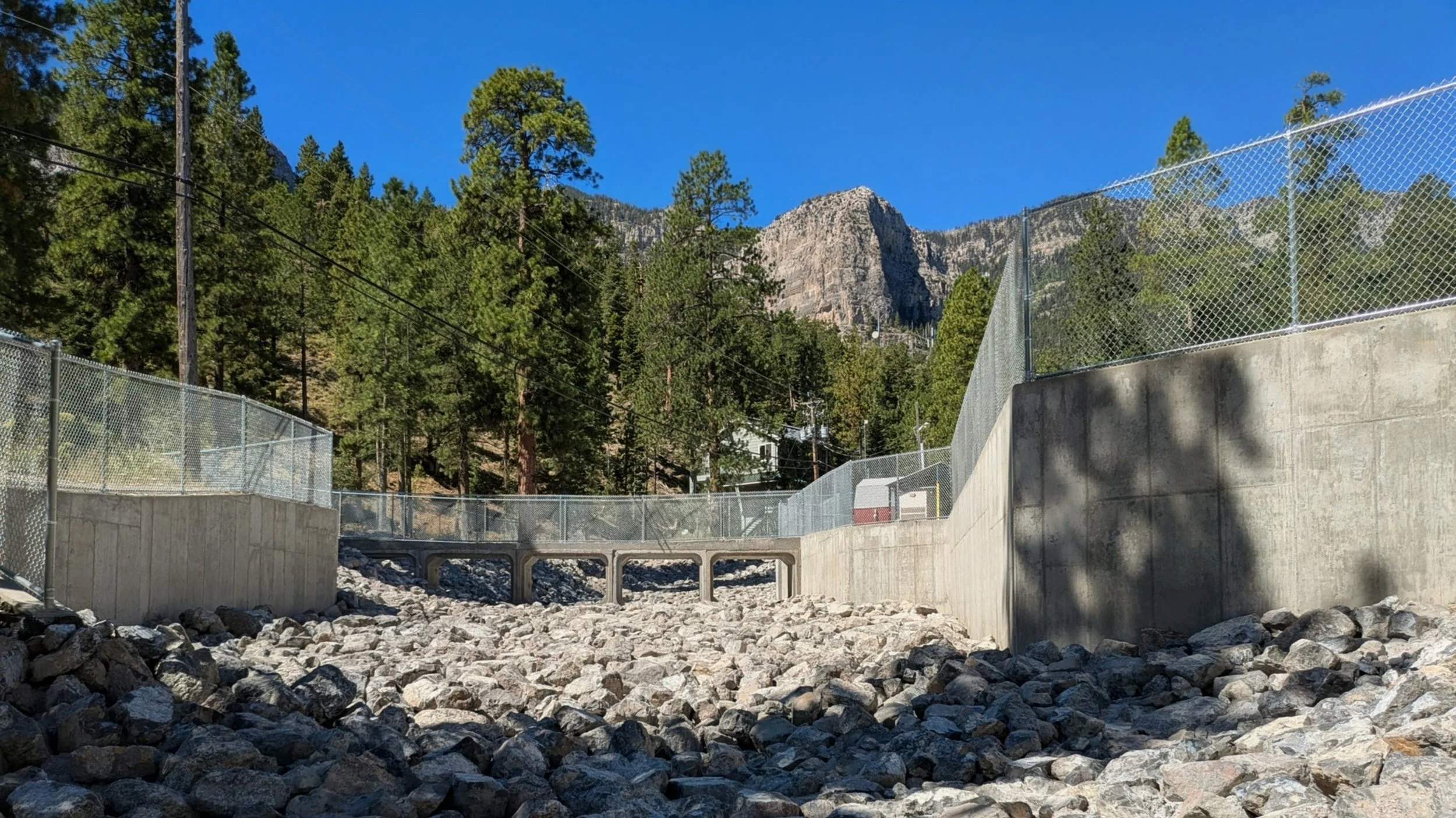
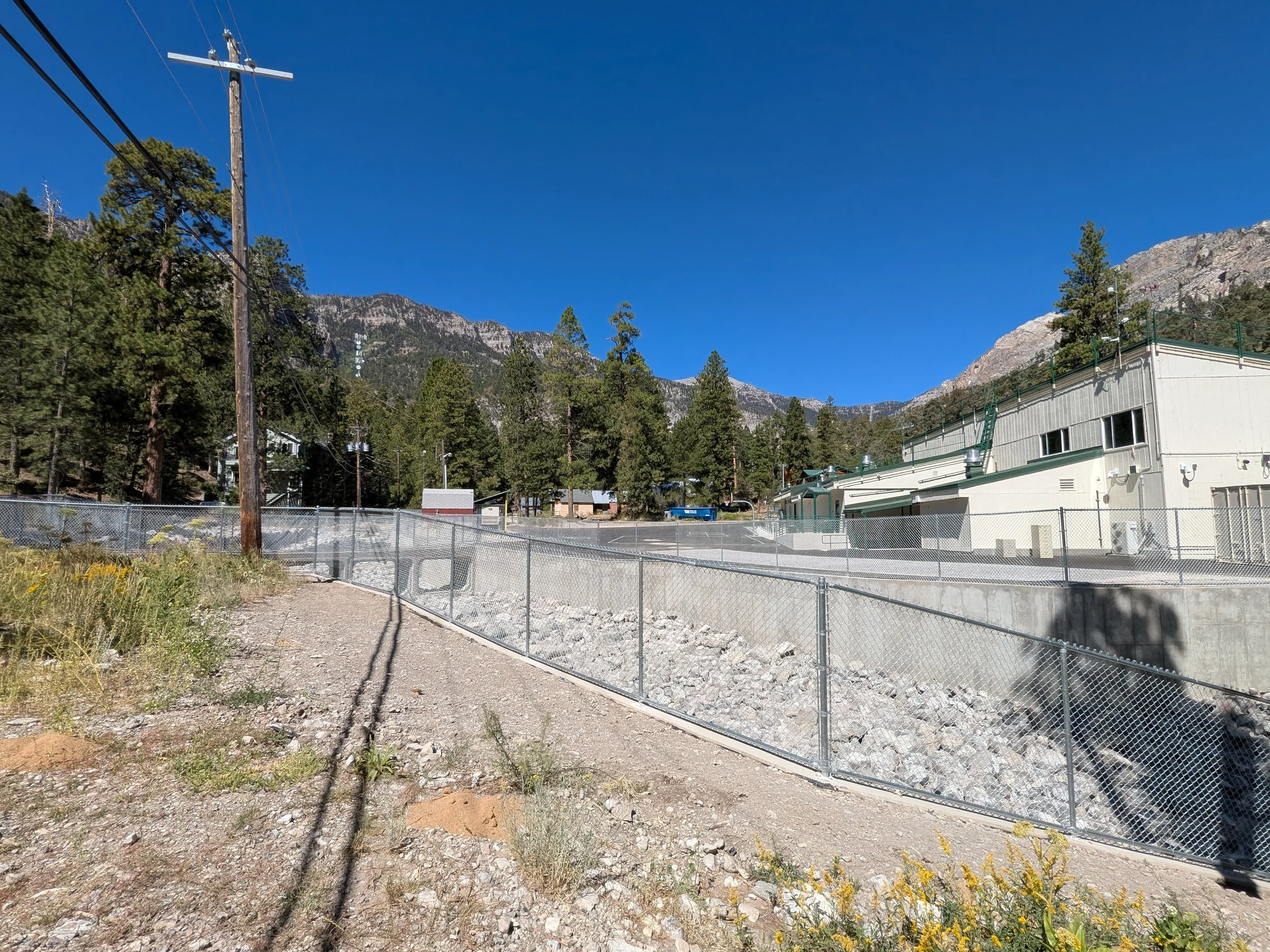
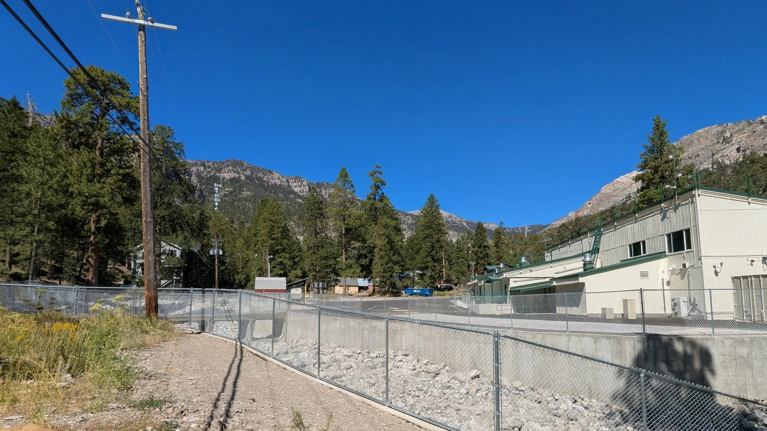
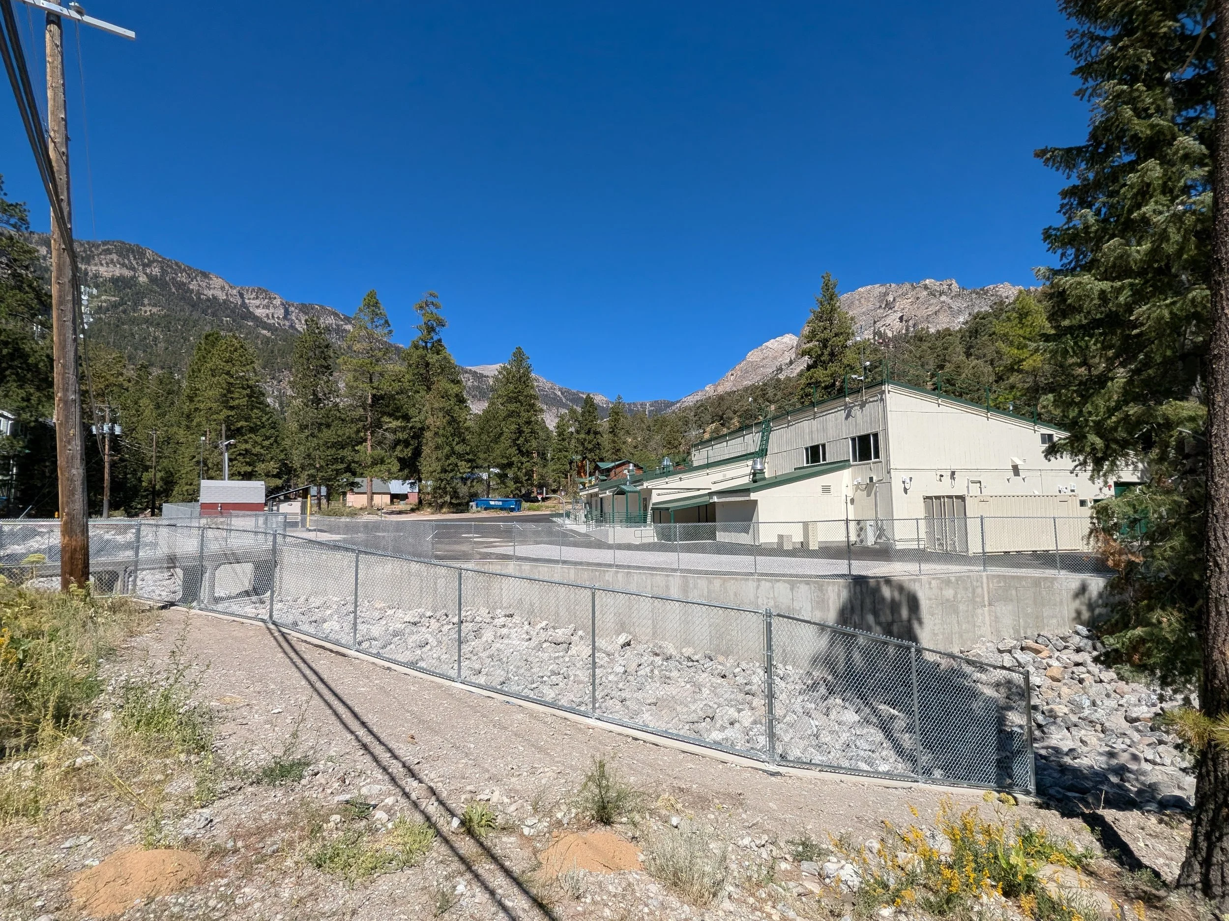
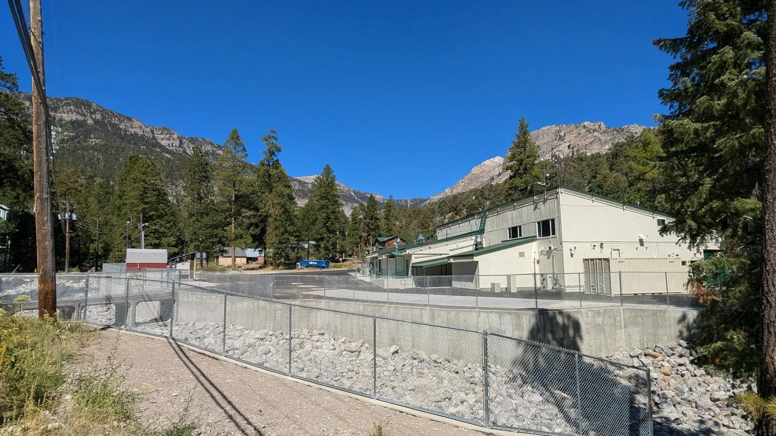
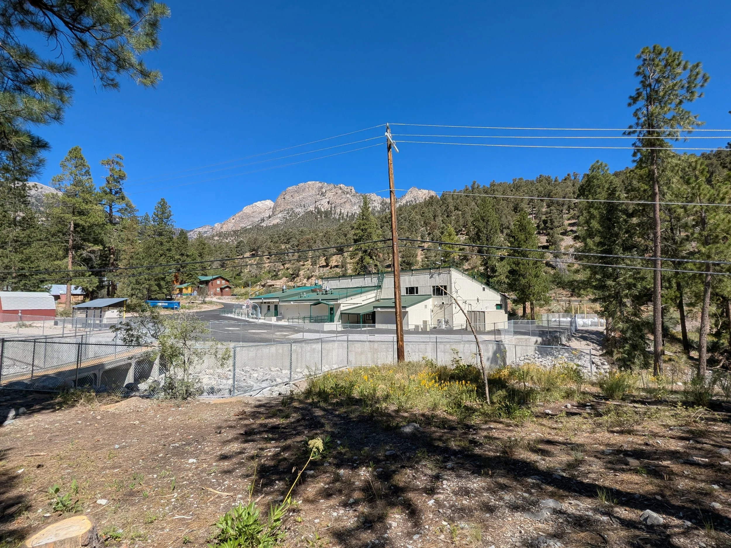
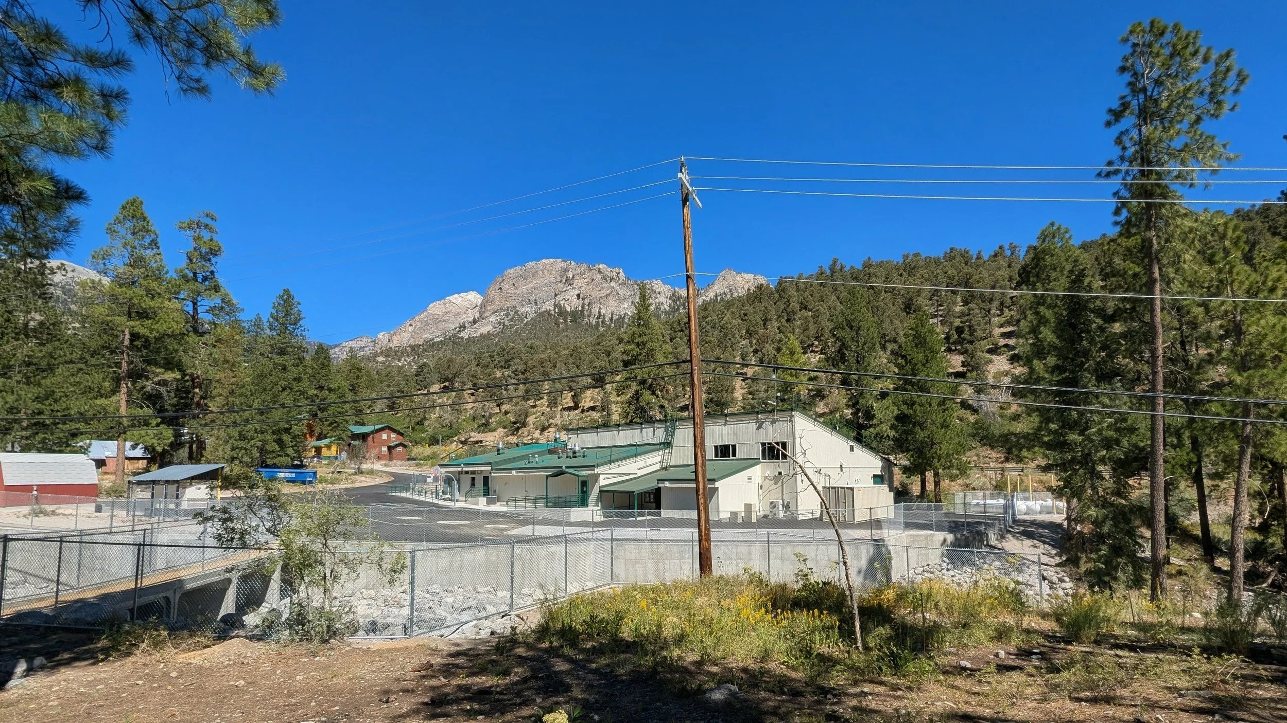
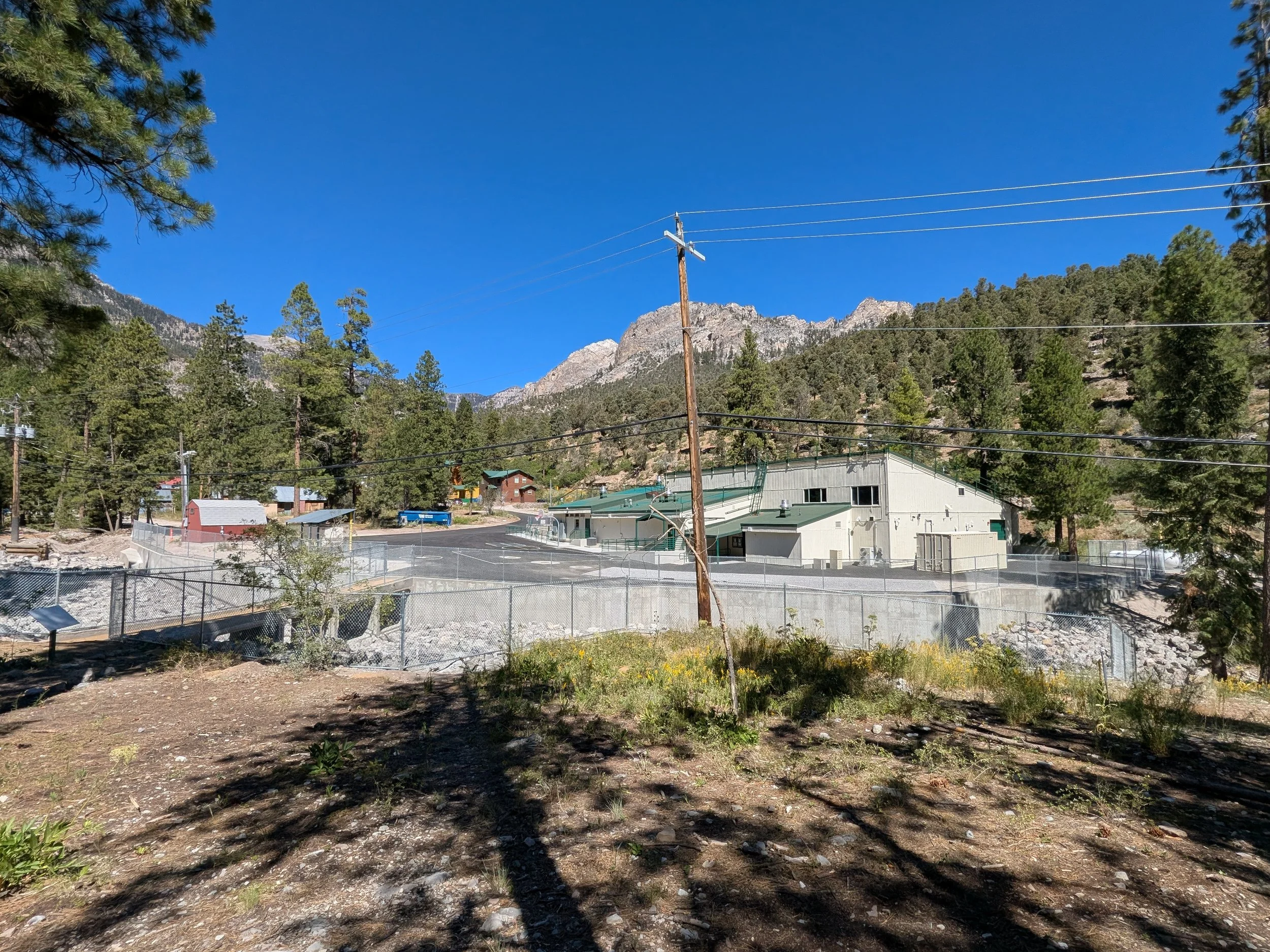
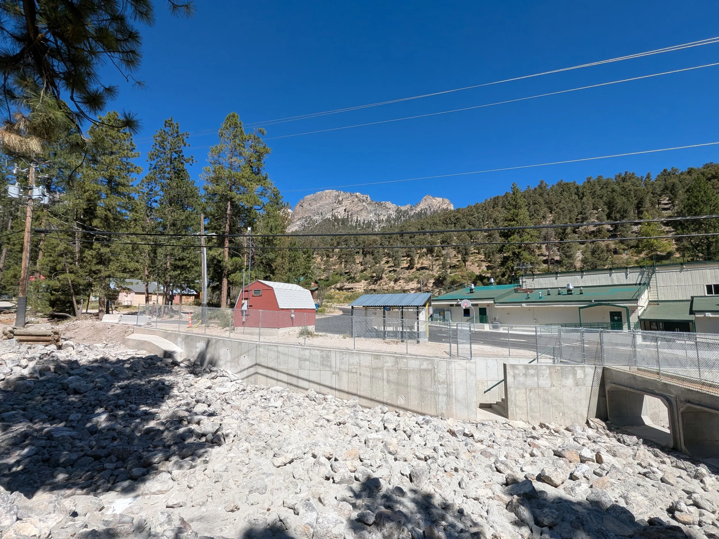
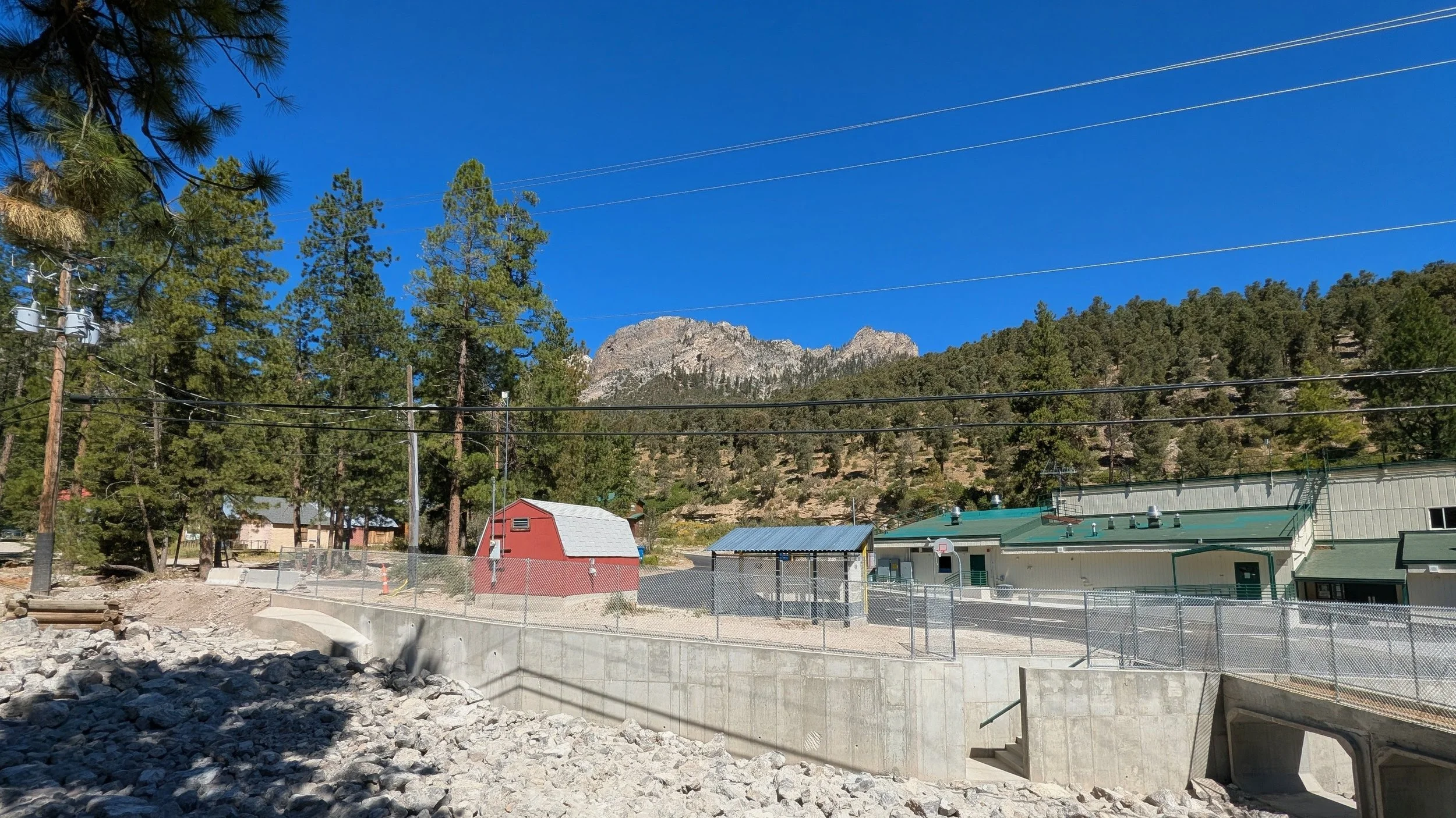
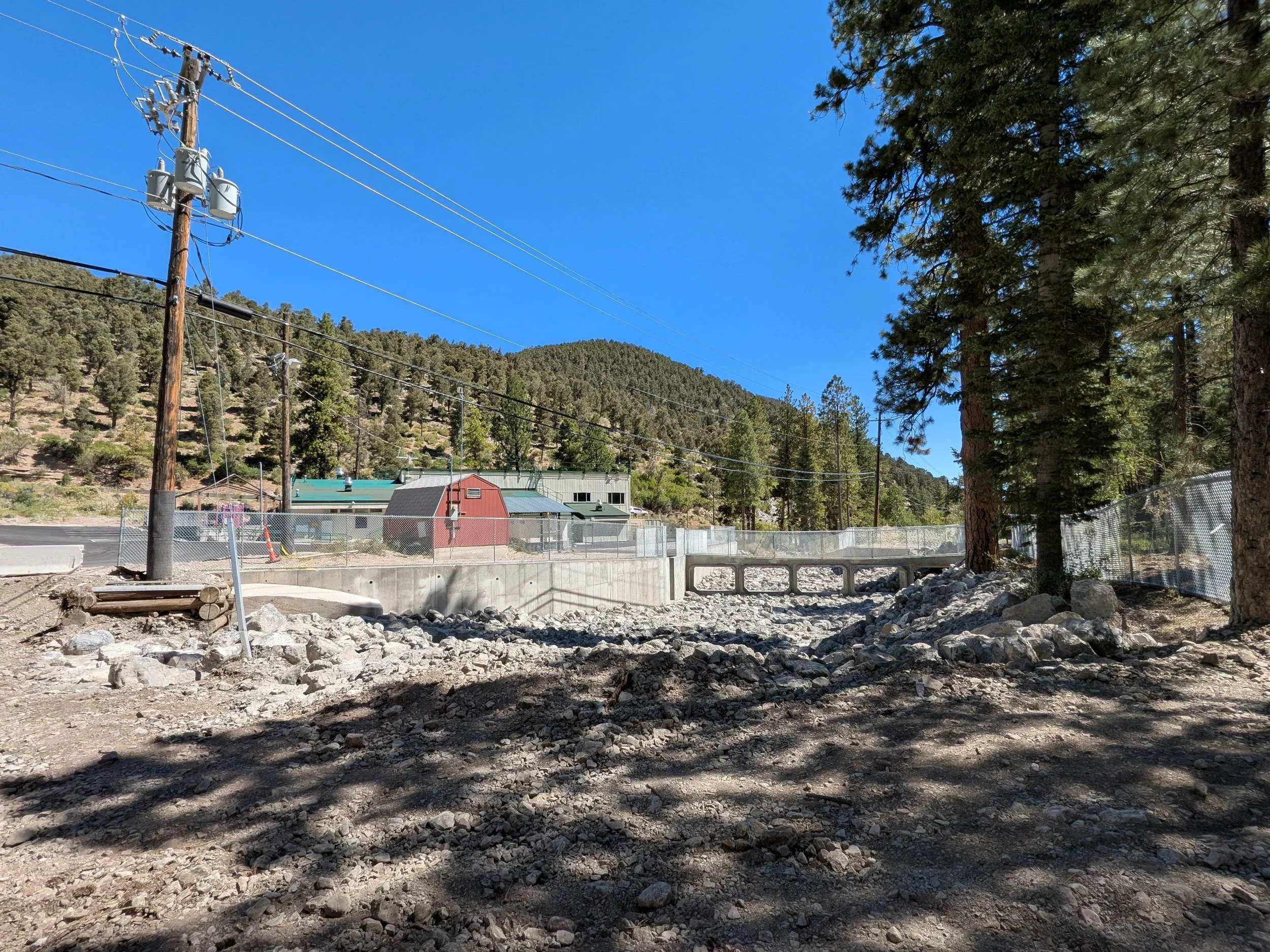
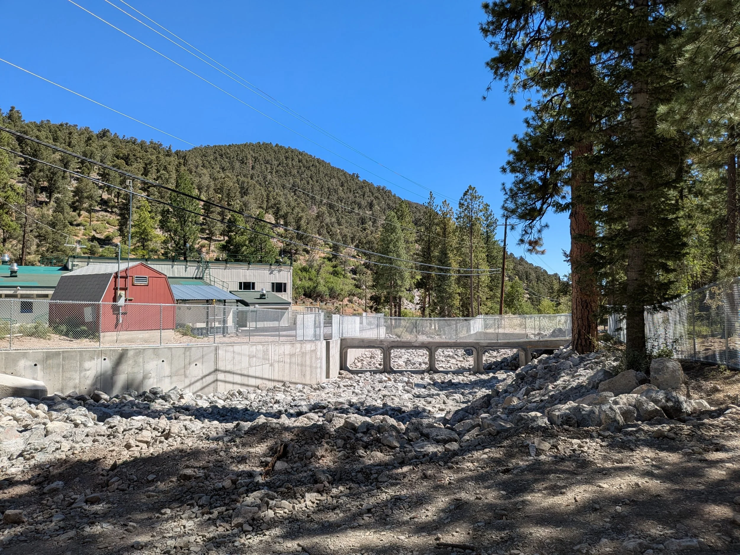
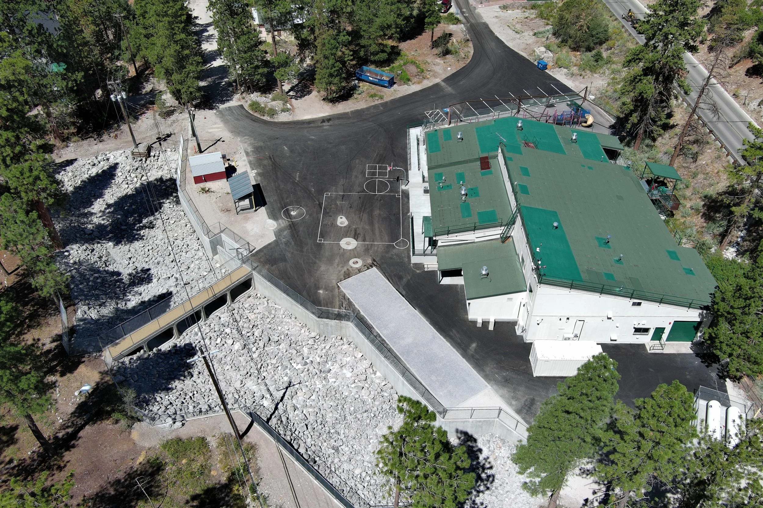
Drainage Channel Restoration: Captured precise topographic data and aerial imagery to verify the redesign and grading of the new 100-year storm capacity channel.
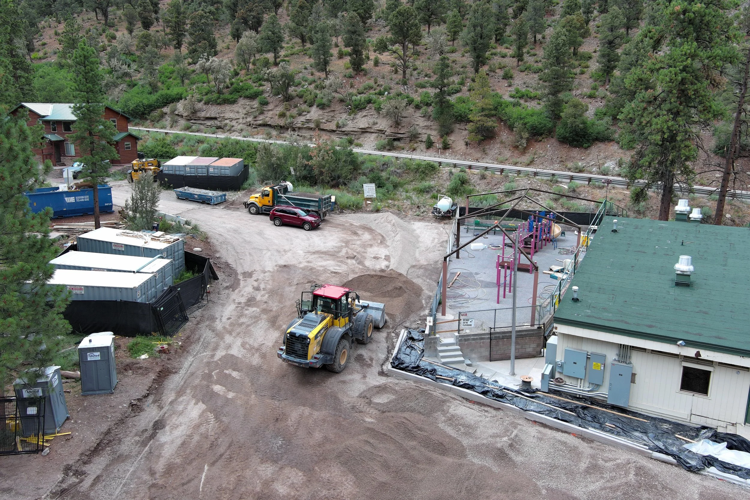
Subsurface & Utility Progress: Documented the step-by-step installation of the new septic system, asphalt paving, and utility lines built over newly stabilized soils.
Geotechnical & Soil Stability Monitoring: Provided recurring, high-resolution aerial surveys allowing geotechnical engineers to monitor shifting soil stability and guarantee long-term site resilience.
SWPPP & Safety Compliance: Delivered comprehensive, date-stamped aerial site audits to ensure strict Stormwater Pollution Prevention Plan (SWPPP) compliance and assist in emergency access planning.
The Drone Advantage: In a politically charged environment where delays were not an option, our aerial data bridged the gap between rapid construction and stringent flood-zone safety protocols.
By capturing every stage of this high-pressure rebuild, we helped ensure Lundy Elementary didn't just open on time for its students—but was documented as built to last against future environmental disasters.